We have many extraordinary placenames in New Zealand, some with romantic origins and others that are descriptive of the times. Wendy Montrose checks out a few of the more unusual offerings.
Cape Foulwind
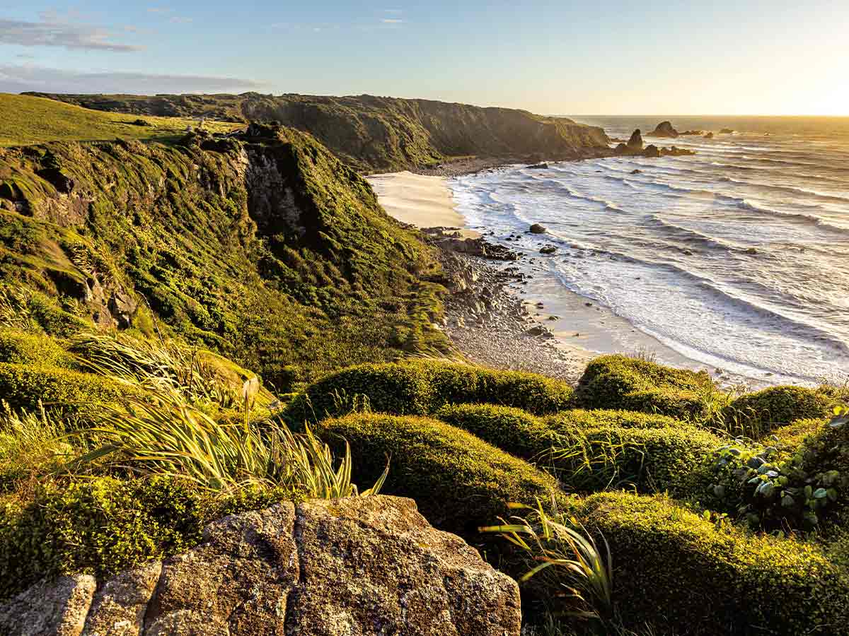
International tourists seem to think Cape Foulwind refers to a private bodily function, but in reality, Captain Cook named the place after encountering ‘rain and squall,’ and the next day ‘a fresh gale’ that blew him offshore. Originally named Rocky Cape by Abel Tasman, the headland near Westport overlooks the Tasman Sea. There’s an interesting walk taking you past a seal colony, nesting seabirds and a historic lighthouse.
Windwhistle
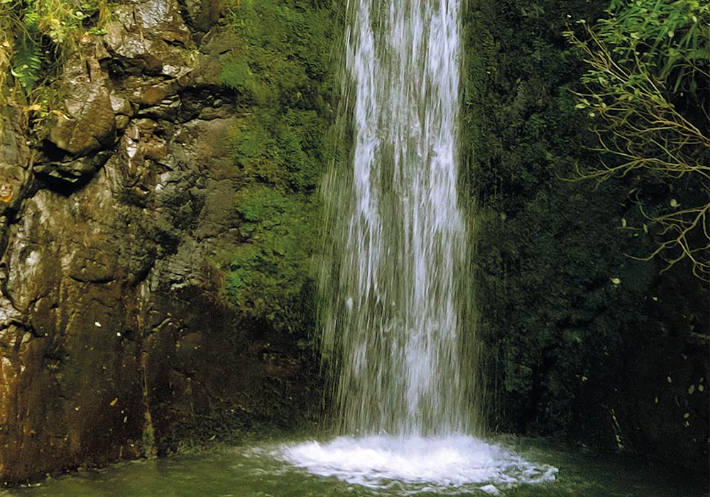
Another windy name, this one apparently comes from the sound made by the Canterbury northwester as it whistles through the farming community. You’ll find Windwhistle north of Methven on State Highway 77 near the Rakaia Gorge. A popular feature of the area is the Washpen Falls walk. The track, on a working high-country station, takes you through bird-filled native bush and a volcanic canyon on a two-hour loop. Charges apply. Go to washpenfalls.co.nz for details.
Brightwater
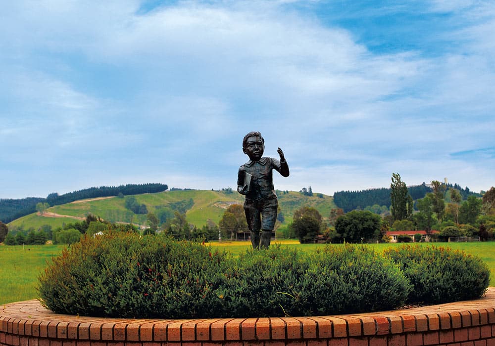
The birthplace of the ‘father of nuclear physics’ Sir Ernest Rutherford, Brightwater stands on the banks of the Wairoa River southeast of Nelson. Settled in 1843 and originally called Spring Grove, in 1855, prominent local flax miller and temperance activist, Alfred Saunders, renamed the area to better reflect the clarity of the river. On Lord Rutherford Road, there’s an attractive memorial depicting the Nobel Prize winner as a child.
Nightcaps
Described as a rural settlement, this town of about 300 souls in Western Southland boasts a golf course and two thriving primary schools. Settled in 1880 to exploit the coal field, Nightcaps may have got its name from Captain John Howell who remarked on the thin covering of fog on the hills known as the Nobbles, “Oh, they have their nightcaps on.” Despite the 1980s downturn in coal mining the Takitimu Coal Mine still operates in the area. Other things to see include the Sinclair Miners Cottage for a peek at early 20th Century life and McGregor Park with its flat, grassed motorhome parking area, playground, and bush walk.
Taumatawhakatangihangakoauauotamateaturipukakapikimaungahoronukupokaiwhenuakitanatahu
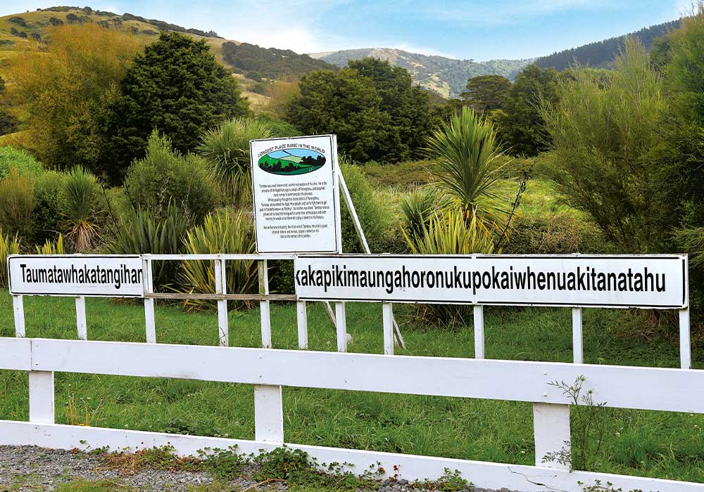
Try saying that twice quickly! New Zealand’s (and possibly the world’s) longest place name graces a hill near Pōrangahau in Southern Hawke’s Bay, standing at a mere 305 meters elevation. The name is often shortened to Taumata and roughly translates as “The summit where Tamatea, the man with the big knees, the slider, climber of mountains, the land-swallower who travelled about, played his flute to his loved one”. Located in a pretty rural area, the sign is still regularly visited by tourists and Kiwis alike.
The Pigroot
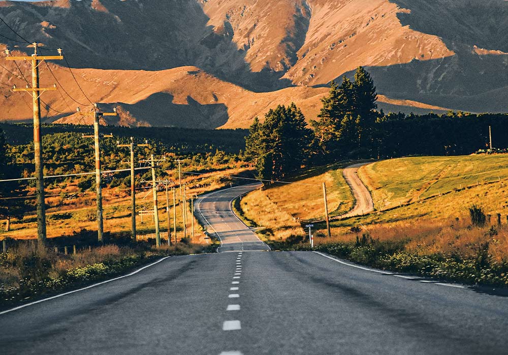
Once a track to the Otago gold diggings, the Pigroot may have got its name from the bullock-drawn supply wagons, which churned up the track so much it looked like wild pigs had been rooting it up. In the late 1800s, 10 surfacemen were paid the equivalent of 60 cents an hour to keep the road open with rock hammers, shovels, and wheelbarrows. Today, the Pigroot is a sealed highway, still carrying out gold from Macraes mine, one of the few mines still operating in inland Otago. Traversing possibly the hottest and coldest part of the country, The Pigroot (SH 85) runs from Palmerston through Round Hill, Ranfurly and Ophir to Alexandra.
Lake D
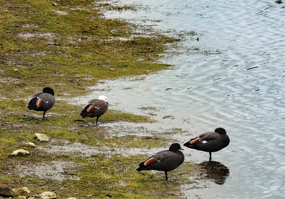
There are many imaginative and descriptive place names in our beautiful country but this isn’t one of them. In fact, there are five small lakes in the peat swamp off Horsham Downs Road north of Hamilton, called A, B, C, D, and E and yes, the names are recorded in the New Zealand Gazetteer. Lake D, or Kainui as the locals call it, is the largest and can be accessed from Lake Road where you’ll find a parking area, walkway, boat ramp, and public toilet. It’s a popular local spot for those who enjoy the lake surroundings with plenty of native plantings, as well as tiny fairy houses built by local schoolchildren dotted around.
Peep-o-Day Route
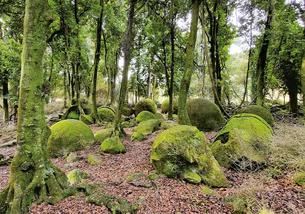
A mountain with an elevation of 483 meters, the locals say Peep-o-Day is the first place in Northern Manawatu to see the sun. If you want to get off SH1, take the scenic alternative Peep-o-Day Route to Cheltenham. There are two options that will both take you to Kimbolton. One is through Rangiwahia and Apiti past the Kaikawaka Scenic Reserve or you can take the shorter route and enjoy the views at Peep-o-Day Point or stop for a visit at Cross Hills, a garden of world renown. Either way, there’s plenty to see and do. Download the Country Road Brochure from manawatunz.co.nz before you go.

