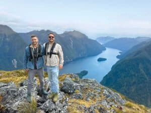
Eleanor Hughes sets out to conquer a road that was built with passion and determination – and some very oddly nicknamed characters
The Old Ghost Road in the South Island’s Buller district was the stuff of legend for a long time. There had been talk of some ambitious plans to build New Zealand’s longest continuous single track on the edge of Kahurangi National Park – the type of big talk that suggested the track had the potential to transform Westport and beyond into something very special.
In 2002, Marion ‘Weasel’ Boatwright, originally from South Carolina, and his Christchurch-born wife, Susan Cook, came across some overgrown farmland they thought might make an excellent lodge.
After purchasing the land, the lodge was opened in 2006, and a local artist was asked to paint a mural of the Mōkihinu above the lodge’s fireplace. The artist’s partner, Steve ‘Stacky’ Stack, and Boatwright became friends – and a project was born. It was based on an original 1800s survey map for a proposed gold miners’ road from Lyell, on the Buller River, through to Seddonville and the mouth of the Mokihinui River.
In 2007, Boatwright set out from Lyell along the ‘road’, but it came to an end at Lyell Saddle. There was no connection to Mokihinui Forks. It didn’t stop the dream.
In 2009, with a bunch of passionate volunteers, they began creating a trail. Six years later, after countless hours of work, millions of dollars in contributions from every corner, plus a $2 million New Zealand Cycle Trail grant, it was complete. In October 2015, two diggers finally met at Solemn Saddle at the southwest end joined the two ends of what is now known as the Old Ghost Road, a cycle and hiking trail.
Taking the plunge
Our group planned to walk the 85km over five days. We stayed the night in Murchison, arriving at the remote Lyell Historic Reserve trail head, 35km south on SH6, by 9.30a.m. the following morning. It’s hard to believe that this was once a bustling town. By 1873, there were six hotels, three stores, three butchers, a baker, two bootmakers, a blacksmith and a school. Unfortunately, none of these remain today.
With our hire vehicle’s keys locked at the reserve’s shelter (for the car to be relocated to the Seddonville Trailhead end) we set off.
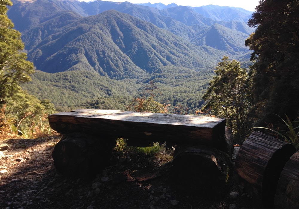
A suspension bridge led onto what was formerly Country Dray Road, built circa 1885, and into shaded beech forest. To my right, narrow Lyell Creek snaked, a ribbon of white water between rocks. Distant beech-carpeted hills lay in shadow, only their tops sun-drenched. After days of rain, water tumbled and trickled down slopes, crossing the track in places. Slips scarred the land, tree trunks torn from the ground and discarded along their path.
In the middle of nowhere, a sign marked Gibbs Town, where miners’ cottages, a post office, hotel and school were sited around 1887–1912. Moss-encrusted boots, rusted buckets and bowls, a spade and wheel rims lay trailside. Further on a sign indicated an overgrown track to Zala Town. By 1904 there was apparently little left of the town other than strewn bottles.
Nearly an hour later, we reached 8 Mile Hut, which was constructed around 1963 when there were plans to reopen a nearby mine. Its corrugated iron roof rested on the ground, the walls collapsed. Amongst moss and ferns, leather boots and cooking pots lay discarded.
The gentle incline of the rocky trail was almost unnoticeable. Draping moss, like forgotten tinsel, hung from spindly trees; ferns nestled below. Near Big Slips, where the Murchison and Inangahua earthquakes of 1929 and 1968 destroyed the old trail and wire fences now keep users safe from sheer drops, I looked back. The white-peaked Southern Alps jutted across the skyline beyond waves of green-forested ridges.
From the 13km mark we seemed to race through the kilometres, the trail flattening slightly. Six hours and 18km done, we reached Lyell Saddle Hut, at 875m. We were treated to views of tree-covered, forever ranges from the 11-bunk hut where Dr. Seuss-type trees, Dracophyllum, populated.
Day 2: Lyell Saddle Hut to Ghost Lake Hut
It was a lazy start with only 12km to walk, on a definitely steeper trail than day one. Picturesque moss-covered banks and trunks lay where rivulets cascaded down rocks across the dim track. The sun spotlighted through thick tree canopy; reddish-brown dracophyllum leaves littered the ground.
Nearing Top Camp Shelter, beech forest was replaced by tussock grass, and low-growing bronze coloured vegetation with pine-like needles, red dracophyllum and mountain daisies. Beyond lay creased and jagged green ranges like a churning sea. Summiting the ridge the trail turned. Ahead, the Southern Alps frosted white, jutted starkly across a blue sky. Wow!
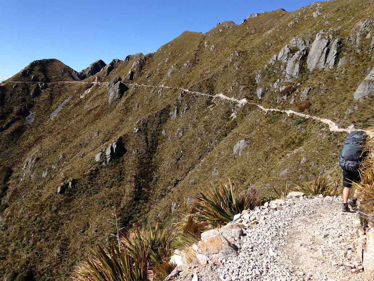
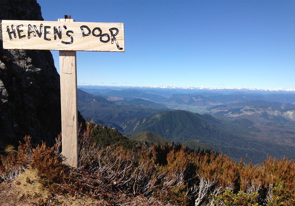
Whitish, granite rock, some with a hint of pink, sparkled in the sun and cut a narrow, rough white track along the side of the ridge. Wire safety barriers hemmed steep drop-offs. We reached the highest point, Rocky Tor, at 1456m, then Heavens Door – two rock faces framing green flattish land hemmed by ranges, the Alps beyond.
Downhill, we passed Tombstone, a boulder taller than me. Wooden walkways crossed precarious spots along the open, rocky landscape. It took five hours to reach Ghost Lake Hut, perched on top of a cliff. It was like being in
a plane looking down onto the land. Murchison was a little cluster of faraway buildings in a grass green valley surrounded by forever bush-blanketed mountains. Close by, Ghost Lake nestled green below a slope.
As dusk fell, clouds blanketed the valley below, while above us was clear sky.
Day 3: Ghost Lake Hut to Stern Creek
Cloud enveloped us the next morning. With 13km to walk, we waited for it to lift but gave up at 10.30am. The boardwalk led us across Ghost Lake over Ghost Lake Basin, an alpine bog, barely discernible in the mist. We zigzagged down into damp, forest draped with vivid moss, mystical and magical, then climbed gently to Skyline Ridge. Drifting clouds revealed distant Murchison then concealed it to expose beech-blanketed ridges staggered behind each other, deep valleys plunging between. Biking the narrow, rocky ridgeline track that twisted and turned sharply down to a gate leading to 302 steep steps would have been hairy! Descending into forest, we stopped for lunch on a hairpin bend where a pickaxe was embedded in a log and enjoyed Alp views.
Zigzagging past open, sloping cliffs of mudstone, where chunks had slid away, we then walked amongst lush ferns growing below thin trees, moss coating their trunks and rock walls. Greyish moss hung from branches. Picturesque.
After the 40km mark we followed Stern Creek for two kilometres, glimpsed between foliage. In its path, a natural rock trough channelled a volume of water that fell waterfall-like off the end. Two wild goats were spotted on the far side of the boulder-cluttered river where steep beech-covered hills rose. Crossing two suspension bridges brought us to the 10-bed Stern Valley Hut, four and a half hours after leaving Ghost Lake. One hundred metres away at the wide, tumbling creek, grey and pinkish granite rocks littered its bed.
Day 4: Stern Creek to Specimen Hut
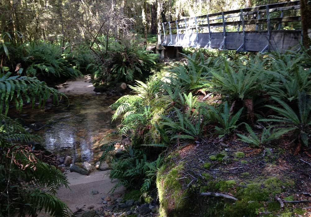
An early start for a 25km day. Flattish track led over streams and alongside dull green Grim Lake. Cheerful Lake to the distant right was blue. Snaking up a steep trail cut amongst stark, white boulders, known as The Boneyard, I looked down. In the vast landscape the lakes resembled puddles. Goats bleated. Here and there, greyish-green, sparsely-leafed trees grew, reminding me of olive trees.
Ridgetop reached, we then descended amidst more white boulders. Low cloud hung in the valley; weka scurried from the bush across the narrow path. Near the valley bottom rimu, tōtara and lancewood were abundant before beech took over, ferns spread below their canopy. A red flash caught my eye. Above, a kaka landed on a branch.
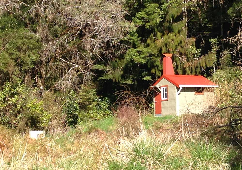
We took a three-minute detour off the track and crossed Goat Creek to the red-roofed, red-chimneyed, four-bed, 12’x8’ Goat Creek Hut. Built in 1955 and restored by DOC in 2013, it’s cosy!
Back on the track, we crossed the Mokihinui River via a suspension bridge. A door about halfway across it apparently stops possums crossing. On one side of the river they eat the giant land snail, Powelliphanta lignaria unicolorata, found only in New Zealand. The Department of Conservation don’t want possums on the opposite side meeting up with them and learning this bad habit! Amidst bush we followed fern-fringed creeks and crossed short bridges. Slightly after Forks Hut are the Mokihinui Forks, a wide expanse of turquoise water channelling into narrow rock gorges where it turned white. After a seven-hour walk we reached Specimen Hut, which overlooks the noisy Mokihinui River.
Day 5: Specimen Hut to Seddonville Trailhead
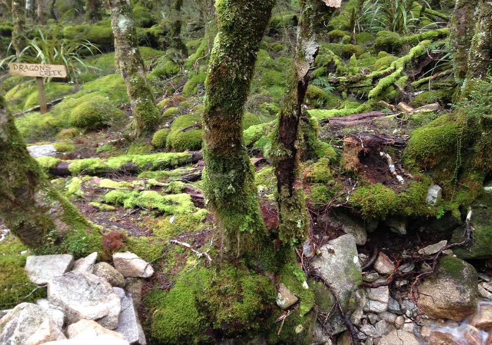
It took five hours to walk the last 17km through mainly beech forest. The thundering Mokihinui was barely out of sight, its hues varying; deep green; turquoise; white where boulders interrupted it. Rock walls hemmed the river or steep beech-forested ridges plunged to meet it. At Suicide Slips, three suspension bridges linked gaps where the narrow trail along the side of the slope had fallen away. Wires guarded steep drop-offs; waterfalls gushed over rock, crossed the trail and tumbled down to the river. Bits of rusting machinery were near where the town of Seatonville stood in the 1880s. On the far riverside lay the remains of an iron bridge, once providing a route to Karamea, which collapsed weeks after the Murchison earthquake.
At the 81km mark, a 400m climb up County Hill, punga and fern-lined, is steep. Downhill from there, we emerged at Seddonville Trailhead an hour later.
Our car was in the car park, the key at Rough and Tumble Bush Lodge perhaps 50m away.
Nature’s varied vistas had me reluctant to head for Westport and civilisation 50km away. Find me another trail as picturesque as this one.
More information
- Read about the trail formation: Spirit to the Stone – Building the Old Ghost Road – by Marion Boatwright
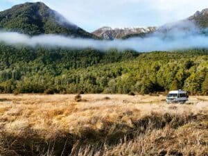
- Lyell Historic Reserve has a campsite accessible for motorhomes. See doc.govt.nz.
- There is a camping ground at Seddonville and other options for motorhome stays between there and Westport. See nzmca.org.nz.
- Check out Hikenbikeshuttle.co.nz for relocating vehicles.
- For hut bookings and trail information, check out oldghostroad.org.nz.

