Jill Malcolm checks out the small settlements that dot the shoreline of New Zealand’s longest driveable beach.
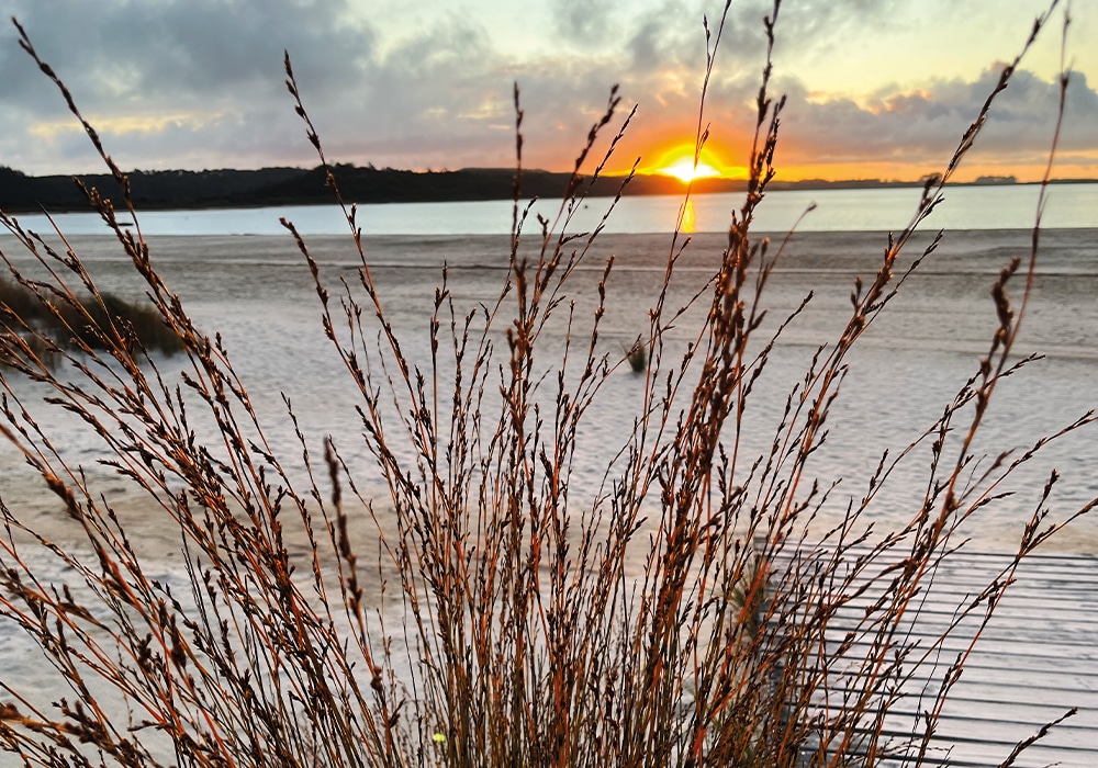
A light wind fingered the leaves of stunted trees in Pouto, the tiny hamlet that perches on the end of an ancient spit forming the northern head of the Kaipara Harbour. The darkening sky was embroidered with stars. But even on this calm evening, I had an uneasy feeling that things could suddenly change, for this unpredictable corner of the Kaipara can just as easily be lashed by vicious winds and battered by tempestuous seas.
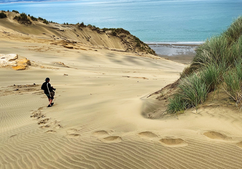
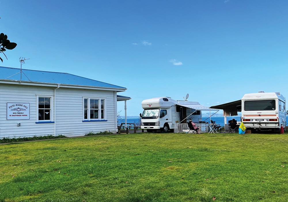
The small settlement is not only at the end of the Pouto Peninsula but also at the start of Ripiro Beach, a swathe of sandy coastline that stretches north for 107kms to end at Maunganui Bluff. Backed all the way with high, ever-changing dunes, Ripiro is longer than the Far North’s erroneously named Ninety Mile Beach. By settling into the clifftop campground at Pouto, we swelled the population of Pouto to 15. And yet it was once well peopled by the comings and goings from the hundreds of cargo and sailing ships that made it through the treacherous harbour mouth and the survivors from those that didn’t.
There’s no remnant of the boat building sheds that were once bustling with craftsmen, but the old kauri customhouse and government office in the campground (circa 1880s) is maintained and now provides rudimentary accommodation.
Between 1840 and 1974, the capacious, constantly-shifting, sand bars that form the approach to the harbour from the ocean claimed at least 103 ships. Death scooped up many of the sailors; miracles saved others. It is these long-ago happenings that give the area an eerie ambience, which is enhanced by names such as The Graveyard and Valley of the Wrecks. As the great tides swirl along Ripiro Beach, bits of old shipwrecks entombed in the dunes are frequently laid bare and then quickly covered over again. In the Dargaville Museum rescued remnants of this seafaring history make a fascinating display.
Seven kilometres along the beach from Pouto, a sturdy, three-storey lighthouse built of kauri was erected high on a sand dune in 1884, to slow the carnage at sea. We booked a tour with a local man called Steve to take us through his Iwi’s land-holdings and across the dunes to the lighthouse. It was the trip of a lifetime. Steve is one of those large laconic men with a dry sense of humour.
“You’d better hang on,” he said by way of a safety briefing, as four of us squeezed into his Polaris XP 1000, an extraordinary vehicle that reminded me of a mechanical spider. I didn’t need to be asked twice. I hung on for dear life as we bucked and slewed with exhilarating speed. Steve grinned. He knew what he was doing. For him it was a Sunday afternoon drive. He pointed out the dune lakes that were formed two million years ago when depressions in the sand were filled by rain and have no inlet or outlet. They are found all the way up the Ripiro Coast. Then we hooned over monster dunes. Where that machine could go would challenge a goat as it reared and plunged up and down impossible slopes. We screamed. Steve smiled. “She’ll be right,” he said.

As we burst over the top of the last sand mountain, we were hit by the astonishing view of the lighthouse and the great dunes crashing into each other as they marched north up Ripiro Beach and disappeared into a distant sea mist. For half an hour, we dallied around the lighthouse taking photos. I deliberated on how extraordinarily difficult it must have been to build anything at all in such a place. Steve drove us back to Pouto along the beach. I kept an eye out for bits of boats but saw nothing but ribbed and swirling sand drifts, and sticks and stones.
Back at the camp, two families of fishermen had settled in. They’d caught so much fish they were delighted to be able to pass it on to us. We were equally delighted. One of them had already caught a 15lb snapper by surf casting. Other RV neighbours arrived. They too were plied with fish and gave us their surplus of home-made venison sausages to make room in their fridge. Then Steve turned up again and handed us a roll of his Canada goose salami. Another camper offloaded her leftover lemons. Pouto began to feel like Bounty Island.
There are other delights along the Pouto Peninsula. Back towards Dargaville we turned onto a metal road that led to Kellys Bay on the inner harbour. This charming little holiday hamlet alongside an unruffled sea is the antithesis of Pouto. It comprises a small campground, and a cluster of charming baches and groomed gardens.
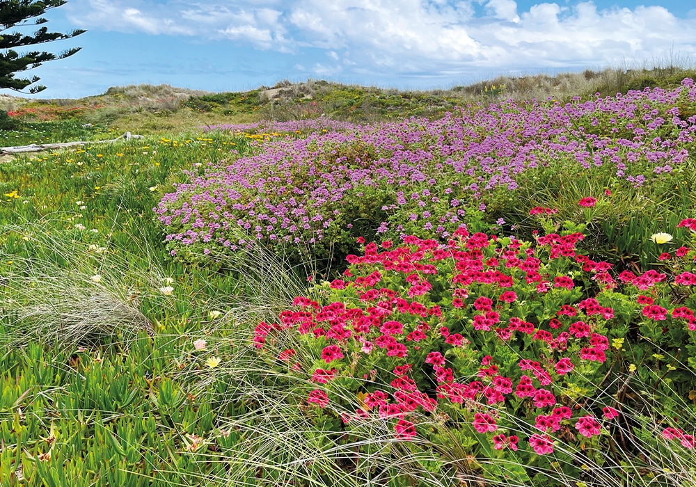
Hordes of oystercatchers were huddled on the bank waiting for the tide to turn. But it was the pockets of hardy holiday places along Ripiro Beach that interested me more. North of Pouto and west of Te Kopuru village, is Glinks Gully, a scrabble of baches hunkered down behind tall sand dunes covered in carpets of brilliantly coloured flowers. On a plateau above the beach is a rudimentary campground, which was not inviting in the wind. The drama of the day was watching a boat, bristling with fishing rods, being launched, west-coast style, from the beach into the wild waves. It was a dodgy manoeuvre that ended with the skipper having to swim out and haul himself aboard. He was a man of large proportions and landed belly first like a floundering fish. As the boat took off his legs were still waving in the air.
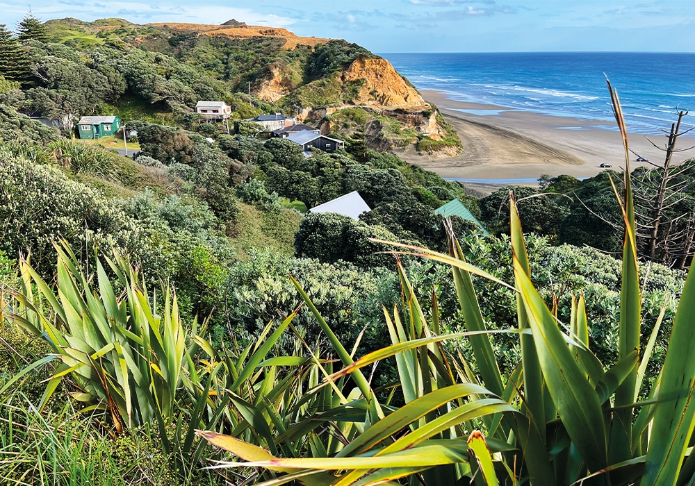
North of Glinks Gully is Baylys, where Ripiro Beach is bordered by spectacular multicoloured cliffs. The village is a playground for Dargaville’s citizens, and colourful homes and baches spill down the slopes towards the sea. We stayed at the large, neatly presented holiday park, which is a ten-minute walk from the beach and we ate fishburgers at Sharkey’s grocery and restaurant nearby. At the camp we were parked next to Murray, a self-styled evangelist who told me how, in a vision, he had been to both heaven and hell. “I preferred heaven,” he said. I suggested we might already be there.
To the lakes
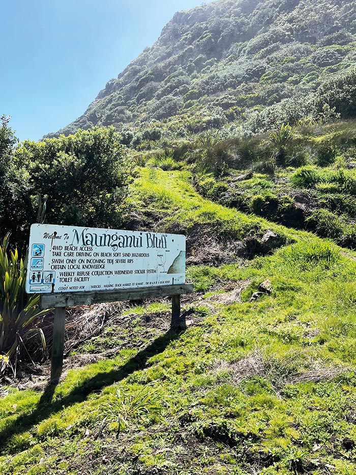
Thirty kilometres further north in the Kai Iwi Reserve are the largest dune lakes on the Ripiro Coast. They are popular boating and swimming destinations in summer but in November we were the only RVers parked in the scrubby campground beside Lake Taharoa, the largest of the three. The landscape is flat and featureless and the sand that borders the lake a startling white. The silence was immense. No breeze ruffled the water as the departing sun polished the surface a pale pink. Ripiro Beach ends a short way north at Maunganui Bluff, an ancient volcanic crater that rises 500m above the Tasman Sea and was once used by Māori to send smoke signals to warn of impending attacks from hostile tribes. The start of the steep, hour-long walk to its summit is at Aranga, a huddle of baches at the end of a rough metal road. If I’d summoned the energy to take the hour-long climb to the top, the view down Ripiro Beach would, by all accounts, have been stunning. It was raining and a cold blustery wind was whipping up the waves and messing up my hair. In that sort of weather, I decided imagination was enough.