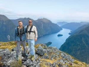
It took her a while to get there, but Vivienne Haldane discovers the walk to the lofty Bell Rock is more than just one of the many nature trails near Tutira in Hawke’s Bay.
Bell Rock had long been on my list of places to visit. I’ve been to Tutira many times previously – twice to camp beside the lake, then walks to the Guthrie Smith Arboretum, Shine Falls and Holt Forest, and to visit the Opouahi/Panpac Kiwi Creche – but the walk to the rock was still on the list.
As a former rural reporter, I have written stories about the lake and surrounding farms, so I’ve come to know this location well. It’s a hidden gem for travellers, and the camping ground beside the lake offers an excellent stopping point on your journey north or south. Nature lovers and keen walkers will enjoy the many trails in this vicinity.
A friend had recently made the trek to Bell Rock and came back raving about her experience. The time had arrived for me to tick the rock off my list. So, off we went with our day packs stashed in the back of our Mini Cooper, and an overnight stay organised at the Red Shed Quarters in Putorino.
Destination Tutira
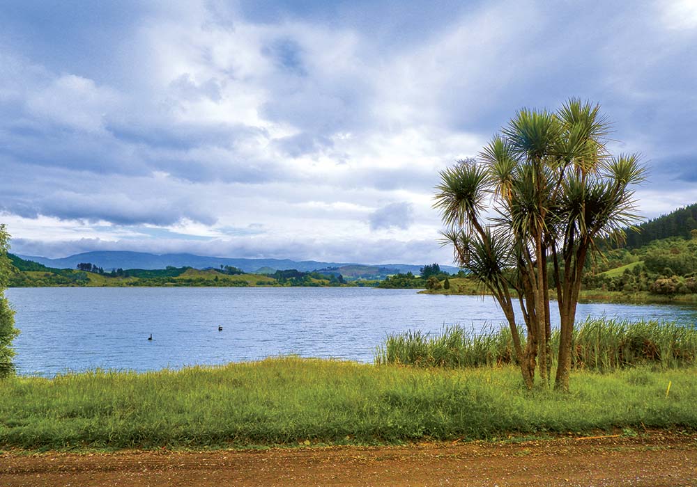
The drive along SH2 to Tutira from Napier takes 40 minutes. The road curves around the edge of Lake Tutira, which, on a calm day, reflects the surrounding hills and trees. In autumn, a golden glow surrounds these waters.
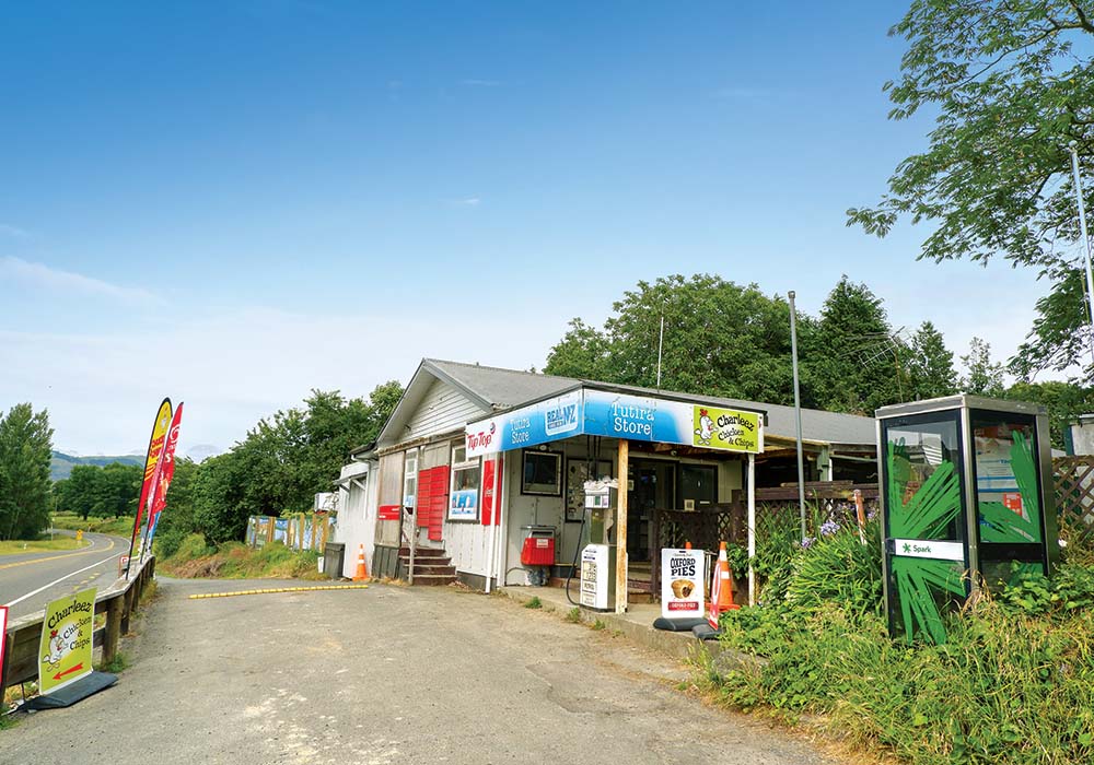
Because I had forgotten to pack the dinner I’d prepared for us, we stopped at the Tutira store to check their closing hours so we could stock up later. “Enjoy your walk,” the woman at the shop chirped as we head out the door (we clearly look the part – I’ve learned over the years that preparation is key on most New Zealand walks).
To reach the start of the track, turn left at the store into Matahorua Road for 4kms, then turn left at the fork into Pohokura Road for another 12kms. Bell Rock is part of the Boundary Stream Mainland Reserve and is just one of several walks here; others include Tumanako Track, Kamahi Loop Track, Bell Bird Bush, and Shine Falls. We stopped at the car park, where signs in a well-built shelter had loads of information about the trails. Rather than walk from here, we decided to park a little further up the road (1.5kms) at a layby. While we parked and donned our packs, a group of chattering hikers set off in front of us and quickly disappeared into the bush.
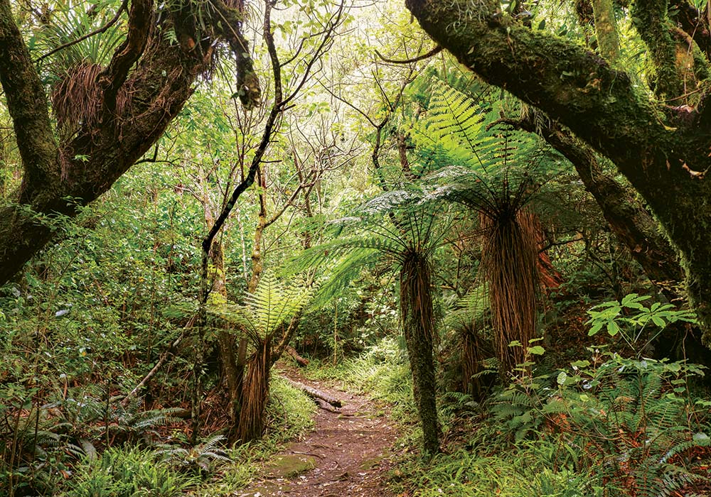
Picking our way over ancient tree roots (there are many), we climbed gradually upwards on a path lined with gnarled beech trees and the confetti of fallen leaves. A white blossoming tree daisy (Olearia arborescens or heketara) grew out of an old tree stump. A melody of birdsong played above our heads, signifying a healthy population of native birds had returned to this bush, including tui, bellbird, grey warbler, kererū and shining cuckoo.
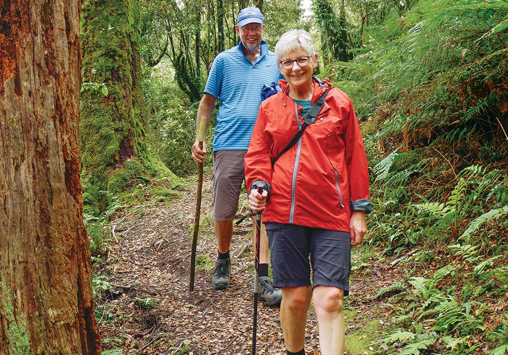
We saw predator traps and bait stations signage close to the tracks – an indication of the high level of conservation carried out here – and stopped to investigate the Weta Apartments, which have doors that open so you can see inside. There was no one home in the first one, but a fine-looking fellow was in residence in the second.
We weren’t alone on our travels; at one point we stopped to chat with a couple from Te Awamutu who informed us we’d reached the halfway mark, which gave us a rough idea of our progress. A child ran along the path towards us, followed by her little brother and their father. It illustrated how children could enjoy this hike too; however, we’d been told about the steep terrain near the rocks, where there are warnings for parents to supervise their children.
Soon the bush gave way to paddocks, and once at the brow of the hill, we took in the full measure of the view with acres of landscape unfolding: farm pastures, pine forests and roads snaked across hills and valleys. In the distance, Glenn spotted a small airstrip. “Imagine carting superphosphate [fertiliser] in there,” he remarked. As we sat and ate our sandwiches, we searched for other familiar landmarks.
I observed various walkers who had passed us – most were fit and zoomed off in the distance, leaving us behind in the dust. Comments from them were varied. One woman, probably in her 20s, said, “I thought this was a moderate walk, but I think it’s more difficult than that. Yet another, a fit and keen tramper, told us this walk was “nothing compared to walking in the Kaweka Ranges”.
I concluded I’d give ratings according to age and fitness level. If you’re a gym bunny, it’s an easy hike; if you’re young and a bit of a sloth, it would be more of a challenge; middle-aged and fit, yep, all good; 50+ I’d say do some training to prepare. However, the friend I mentioned is in her 60s but is ultra-fit, and her analysis was that it was “not difficult.”
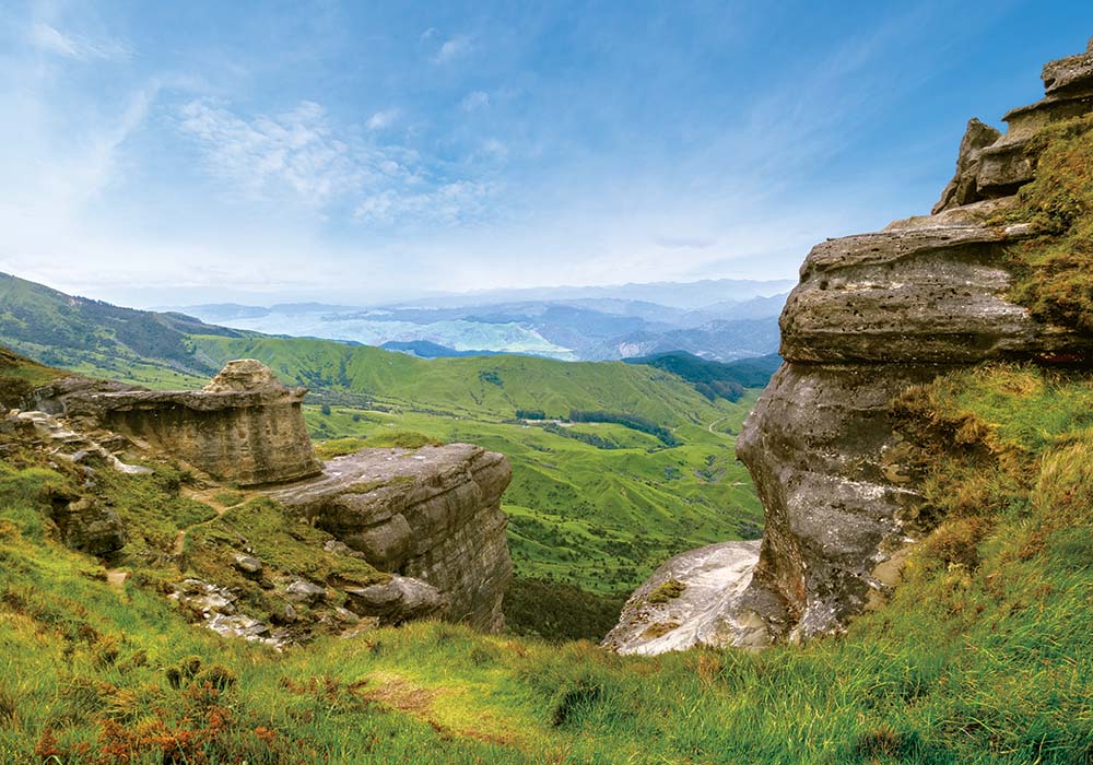
With a final push uphill, there was Bell Rock. It was awe-inspiring and, because Glenn had decided to park up on the hill above and soak up the view from a distance, I had the location all to myself.
I wandered about in a slightly exhausted daze admiring the sculptural curves and layers of compressed fossilised rock, then at swathes of green pasture and forest stretching out before me. The steep drop from the massive rocks – there are several besides Bell Rock – made me feel giddy. I dared not look over the edge. I’ve seen images of hikers in jubilant poses on top and at the edge of the rock, but this was not for me. On a fine day such as this, Bell Rock is a gem of a subject for any photographer; all I had to decide on was an angle that didn’t involve any life-threatening moves.
Bell Rock is a loop walk of 5.3kms and usually takes three hours to return. However, we took considerably longer because we took our time and made frequent stops as Glenn has an injury, and I like to take lots of photos and make notes. You can walk back through the forest, or as we did, veer left to walk back to Pohokura Road via a 4WD track, approximately 1km from your car.
“You’ve been gone all day,” said the woman at the shop in an amazed tone as we return 15 minutes before closing time. Boy, we’d motored down Pohukura Road to make sure we didn’t miss closing time to buy those chicken and chips we’d been thinking about while on our walk back to the car. And they were absolutely delicious.
The Maungaharuru Range
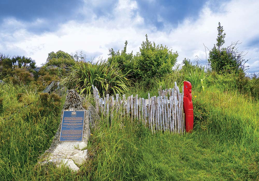
Maungaharuru is the spiritual home of the hapu, Ngāti Kurumōkihi. They are the kaitiaki (guardians) of Boundary Stream and nearby reserves. In 2017, as part of a Treaty settlement to redress grievances from 150 years ago, four DOC reserves in northern Hawke’s Bay were returned to their original owners, hapu (including Ngāti Ngāti Kurumōkihi), represented by the Maungaharuru-Tangitu Trust. Shortly after this, the hapū generously gifted back the four reserves to the people of Aotearoa.
Source: doc.govt.nz
Boundary Stream Reserve
Bell Rock is part of Boundary Stream Reserve, as are the other trails mentioned here. The 800ha reserve, also known as the Boundary Stream Mainland Island, is in the Maungaharuru Range and is one of the last remaining areas of native forest in Hawke’s Bay. It’s the heart of a significant conservation initiative to reduce introduced pests and restore and protect endangered species, including kiwi, kōkako, kākā, weta, and hundreds of species of native plants. The Boundary Stream Mainland Island project began in 1996 and is closely managed and monitored by DOC. Boundary Stream is one of six ‘islands’ set up in NZ. These islands help conservation staff find the best ways to restore entire ecosystems.
Be prepared when tramping
- Weather conditions can change rapidly. Be prepared and carry wet weather and warm clothing, snacks, and water. It’s advisable to travel here on a fine day to fully appreciate
what you’ve come for. - Do not disturb traps, poison stations and other equipment.
- Actively supervise your children.
- Tracks to Bell Rock and Shine Falls cross private property, so keep to marked tracks and use stiles.
- Pohokura and Heay’s Access Road car parks have toilets.
- Moderate fitness required.
- Tell someone where you’re going and when you expect to be back.
Also in the area
- Guthrie Smith Arboretum Open every Sunday 9am-5pm, October to May. Entry is free. 3561 State Highway 2. It covers 90ha, with trees from Australia, China, Japan, Himalayas, Europe, Mexico, North America, Mediterranean and others. Various walkway tracks link all.
- Holt Forest Arboretum Just before Tutira Store, turn left at Waikoau Road. Holt Forest is signposted at this road.
- Lake Tutira Reserve and Country Park A sign beside the lake describes Tutira as ‘one step on a journey, with much for travellers to discover in the vicinity. Lake Tutira Reserve and Country Park is an excellent place for camping and motorhomes.
- Facilities include picnic tables, BBQs, cold showers, tap water and toilets.
- There are two main hiking trails through the park.
- Birdlife at the lake includes scaup, grey ducks, black swans, white-throated shags, black shags, white-face herons, pukeko, fantails, New Zealand wood pigeons, swallows and kingfishers.
- Due to toxic algal bloom, the lake is usually not suitable for swimming. Check signs in the park for information on swimming risks.
- This park is not suitable for dogs.
- Camping fee – $5/person per day (donation box).
- For more information: hbrc.govt.nz/hawkes-bay/regional-parks/tutira-regional-park/
- Opouahi/Panpac Kiwi Creche: ecoed.org.nz/kiwi-creche
Farmstay accommodation
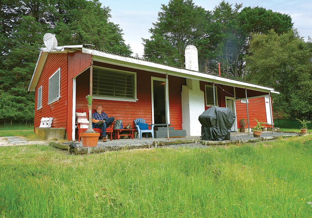
We stayed overnight at Red Shed Quarters in Kotemaori, and it was a welcome finish to our long day. Comfortable and cosy, it came with absolutely everything you could wish for – piles of fluffy towels, soft beds with fresh linen, games, books, hot showers and pretty views over the rural countryside. We enjoyed a glass of wine as we watched magpies, rabbits and wood pigeons from the porch.
Looking for motorhomes or caravans for sale in NZ? Browse our latest listings here.

