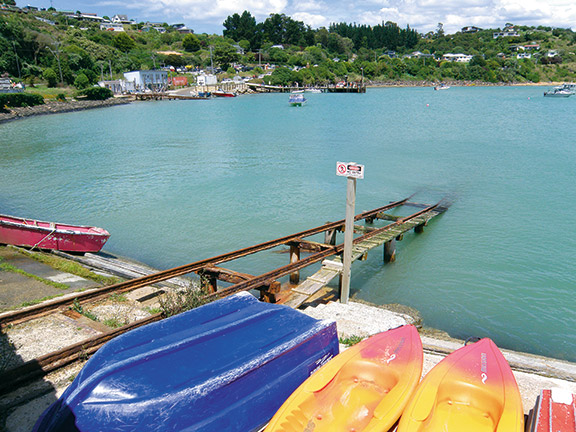
Just past the Moeraki boulders is a turn that will take you to the township of Moeraki, once the location of a whaling station, but now a sleepy fishing village. It’s apt that its name translates to 'sleepy sky' in Maori.
Moeraki is now best known for the legendary restaurant Fleur's Place, run by chef Fleur Sullivan. Fleur is happy to chat to people (like us), fossicking around the area outside the restaurant and although it was closed when we were there, Fleur's Place has a great reputation for its fresh seafood.
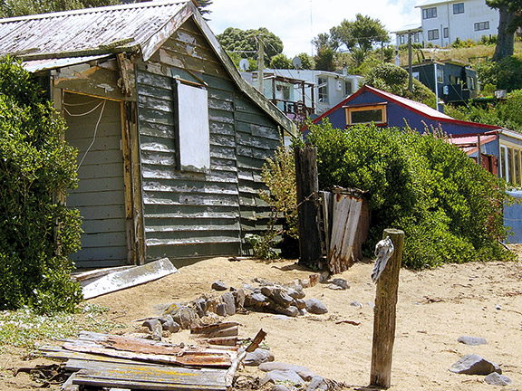
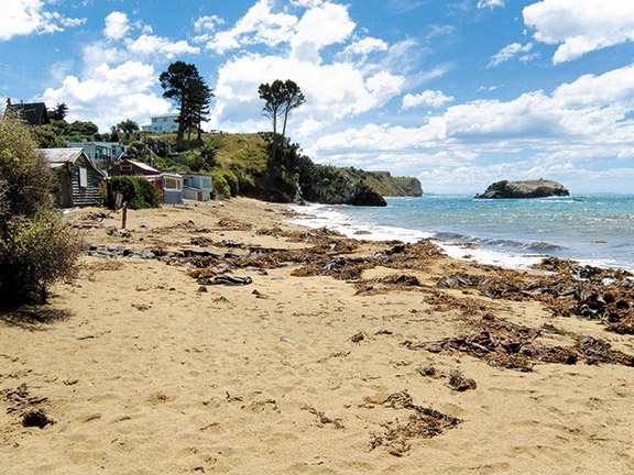
The area around Moeraki township is well worth investigating. There are no through roads. Most of these 'no exit' roads lead to clusters of old cribs (baches to us North Islanders) huddled beside ruggedly picturesque beaches. Follow Lighthouse Road however, and you will eventually arrive at Katiki Point Historic Reserve/Te Raka-a-Hineatea and its lighthouse, built in 1878.
A walk leads from the lighthouse to the old pa site at Katiki Point. The pa was occupied in the eighteenth century and had terraces and houses with stone fireplaces. Little trace remains of the settlement today and the land is only home to wildlife.
We set off to walk to the headland but the first attraction was the penguin hide. This is a five to 10 minute walk downhill following a formed track. This site is known to be the most significant breeding site for yellow-eyed penguins/hoiho in North Otago and the wooden structure allows the penguins to be observed in their natural habitat. The best times for viewing are before 9am and after 3pm as the adults leave their chicks for the ocean each morning, returning in the evening.
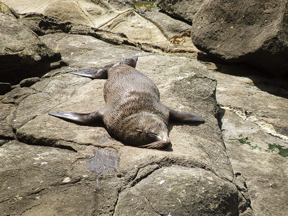
Since we were there a little before 3pm, we enjoyed looking at the colony of fur seals/kekeno basking on the rocky beach below. As we made our way back up the track, we were surprised to see two yellow-eyed penguins standing behind the predator-proof fence looking out at us. We watched as they waddled off deeper into their bush habitat.
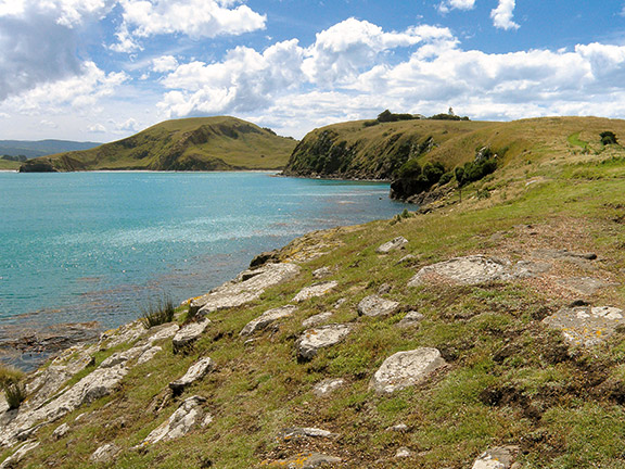
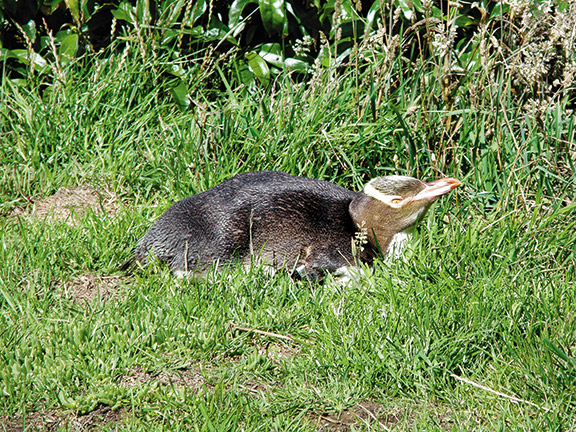
The headland walk passes alongside the top of the penguin reserve and below the lighthouse. The lighthouse keeper's house is run by the Katiki Point Penguin Trust as a rehabilitation centre for injured or sick penguins. Over a stile, the walk continues across grassland and rocky shores to the headland. There are great views and a variety of birdlife. Gulls were using the wind to soar around the cliffs while a solitary yellow-eyed penguin rested on the grass.
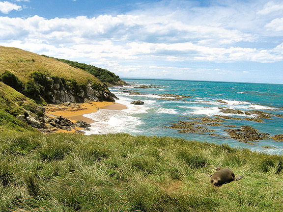
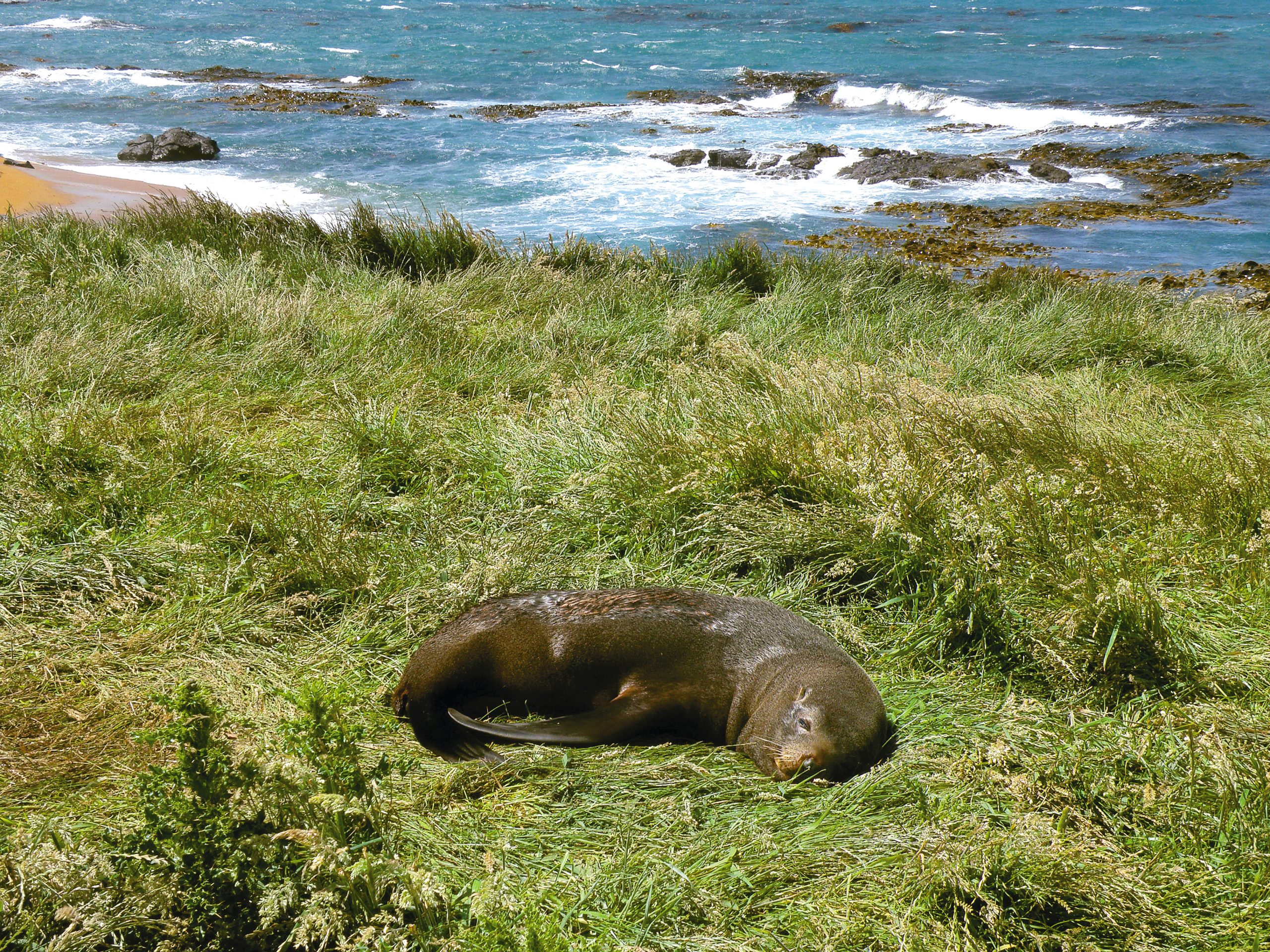
Fur seals were playing in the water on the south side of the headland while others lay sunning themselves on rocks or, oblivious to walkers, on the grass beside the track. This gives the unwary a shock if you don't keep your eyes peeled. The area is the main breeding ground for fur seals in North Otago and they obviously consider it their home as they hang out relaxing. In the early 1800s, sealers were based here, now the seals are protected and their numbers are growing.
The walk is around one-hour return to the reserve car park but wildlife lovers could spend the whole day there. Return in time though, as Te Runanga o Ngai Tahu, which administers the reserve together with Te Runanga o Moeraki, closes the access gate during the hours of darkness for safety reasons.
We freedom-camped at Back Creek, which is a little further along State Highway 1 (SH1), in one of several areas between the beach and the road south of Katiki Point. The day after our surprise encounters with yellow-eyed penguins and fur seals, we walked along Katiki Beach, which can be seen from Katiki Point but only accessed from SH1. The attraction here was not wildlife but boulders.
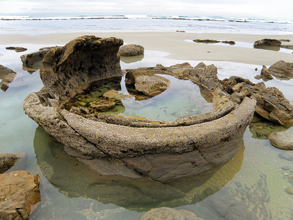
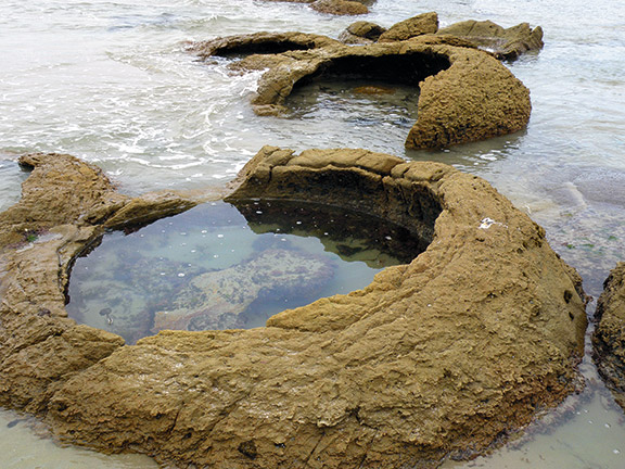
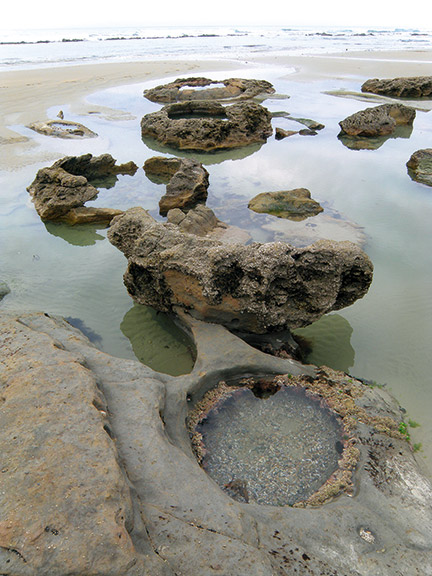
Like Moeraki Beach, Katiki Beach is home to spherical boulders called concretions. I have seen Moeraki boulders and the larger spheres called the Koutu Boulders in the Hokianga, but I had never seen hollowed-out boulders like the ones on this beach. They reminded me of a series of rustic spa pools.
Maori legends explain the boulders as the remains of kumara and calabashes washed ashore from a wrecked sailing canoe, the Arai-te-uru, the remains of which are said to have formed the reef extending seaward from Shag Point.
Other theories have been formulated since the boulders were first described by Europeans in the 1840s, one of which was that the boulders were dragons' eggs because many of the large boulders are hollowed out by erosion. They do look like giant egg shells. A surprising link with this myth, and unique to the boulders here, is that a dinosaur fossil has been found inside one.
The seven-metre long fossil of a Plesiosaur was discovered in 1983 by Gary Raper, an amateur collector. It was named Kaiwhekea Katiki by Professor Ewan Fordyce from the University of Otago's geology department.
Around 69-70 million years ago the dinosaur died and its body settled on the ocean floor, where a large concretion formed around it. When its fossilised remains were removed from the boulder, it was found to be the most complete specimen ever discovered in New Zealand. Intrigued, we later visited the Otago Museum in Dunedin to see Kaiwhekea Katiki.
Our walk along the beach began at Back Creek. A low tide is necessary to enjoy this walk that took around two hours return – including lots of time for looking at the boulders. Some were small round spheres, like the ones seen at Moeraki, but at the southern end of the beach we came across more of the hollowed out ones. Some were alone, filled with sand or acting as mini aquariums, others were joined together like a series of spa pools or giant kina.
Whatever the imagination suggested, or the science revealed, it was certainly an interesting beach walk.
For the latest motorhome reviews and destinations, subscribe to Motorhomes, Caravans & Destinations magazine here.
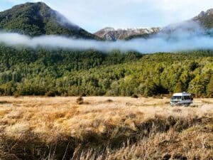
The road to Milford Sound
Explore the awe-inspiring journey to Milford Sound through Fiordland National Park – from scenic DOC campsites and iconic hikes to wildlife cruises and luxury stays

