The great thing about having a mobile home that tows a car with bikes is the ability to park up somewhere nice and ride sections of the many cycle trails that have been developed around the country.
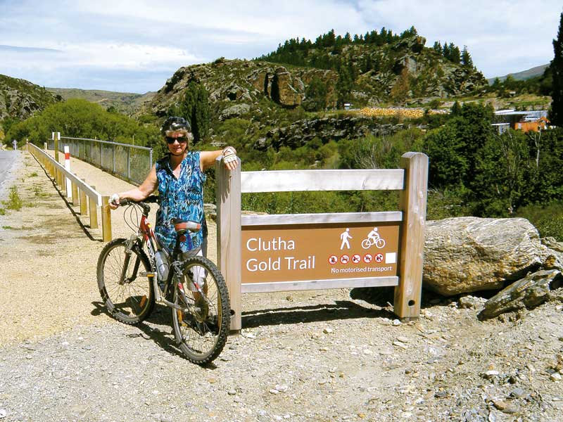
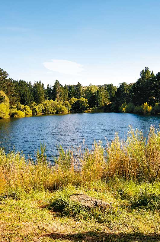
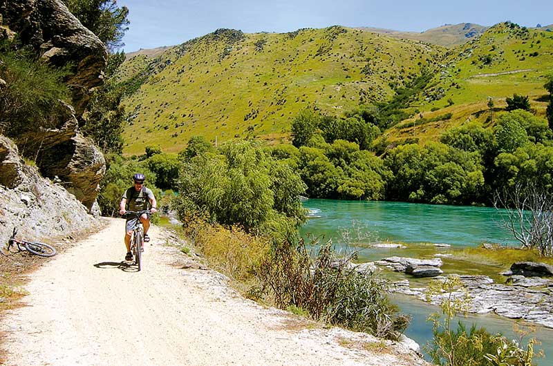
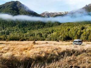
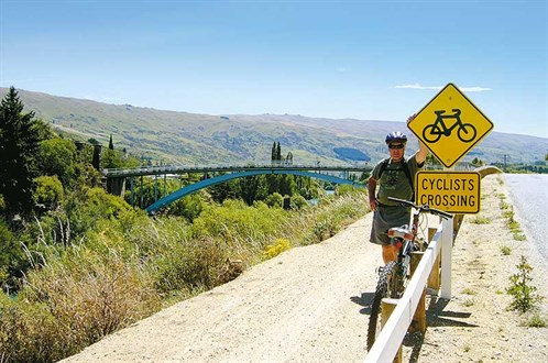
Pinders Pond in Central Otago is a great spot for the new Clutha Gold Trail – the cycleway runs beside the Clutha Mata-Au River on its way from Roxburgh Dam – because it’s right beside the trail. This is convenient for cycling in either direction; we cycled into Roxburgh and back which is an easy ride of about 10km return.
However, having two vehicles also gave us the option of riding a longer section of the trail one way, as we could park the car at the start of the ride and cycle the trail to the bus, returning later to hook up the car.
Clutha Gold Trail
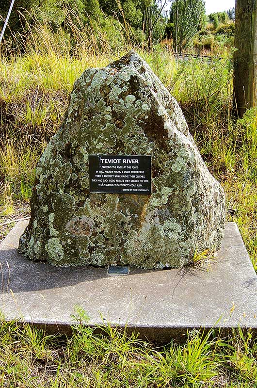
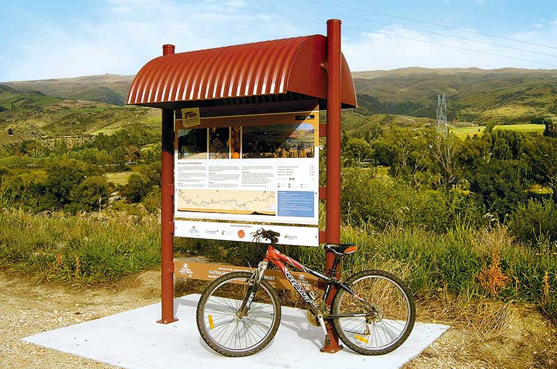
The Clutha Gold Trail is 73km from end to end and takes between two and four days to complete, or you can do as we did and cycle (or walk) just sections of the track. You’ll see evidence of early gold mining activity along the whole trail and there are information panels to explain the details.
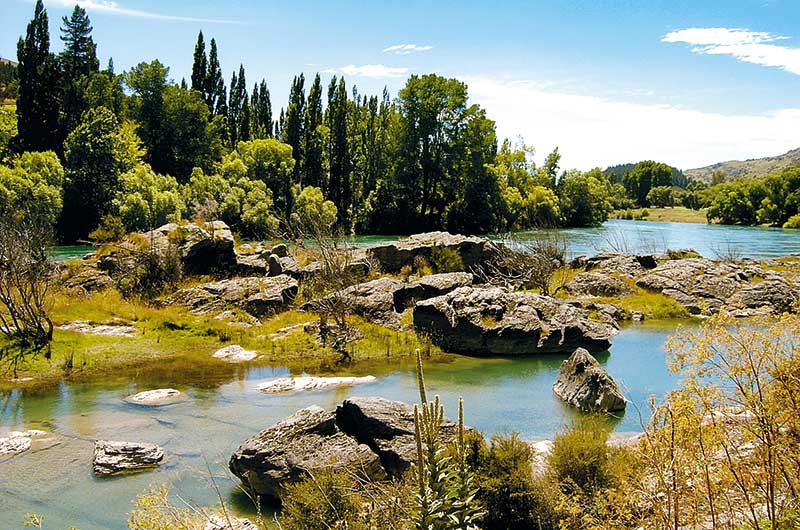
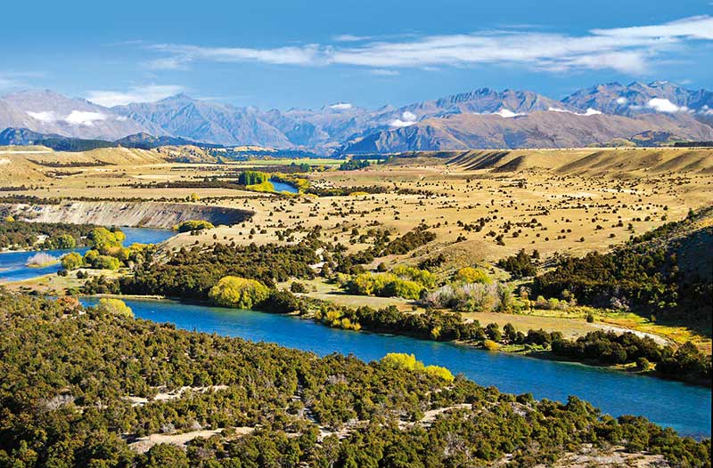
Commissioners Flat, beside the Roxburgh Dam at the start of the trail, has plenty of parking space. The 9km track runs slightly downhill from here to Roxburgh, passing beside orchards with the fast-flowing turquoise river running beside the trail. The Maori called the river Mata-Au, meaning surface current. Miners called it the golden river because so much gold was taken from it.
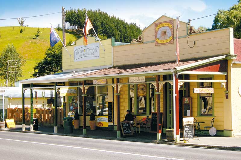
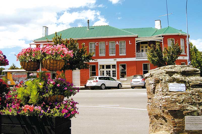
Roxburgh is a quaint old gold-mining town to explore. There are several cafes for cold drinks and ice creams when the day is hot. The area’s fruit growing developed soon after the gold rush and there are roadside stalls selling fruit in season.
The next section of the track runs to Pinders Pond, where we camped for the night. This small lake is now a recreation area, but was once the site of a mining operation run by ‘Big John’ Ewing, described as one of the area’s most colourful mining entrepreneurs. He arrived in Otago in 1863 and worked in various goldfields before making – and losing – his fortune at Dunstan Creek Goldfields (St Bathans). Trying to regain his losses, he began digging at the site of the Clutha Mata-Au River’s old bed. The pit was excavated between 1918 and 1922 to a depth of 23 metres, although gold was never found there.
The cycle trail continues through farming and orchard country alongside the river to Millers Flat, 19km from Roxburgh. Beside the historic wooden bakehouse there is Faigan’s community-owned grocery store, previously owned by four generations of the Faigan family, the original suppliers of provisions to the gold miners. You can still stock up on sandwiches and other provisions if you are cycling.
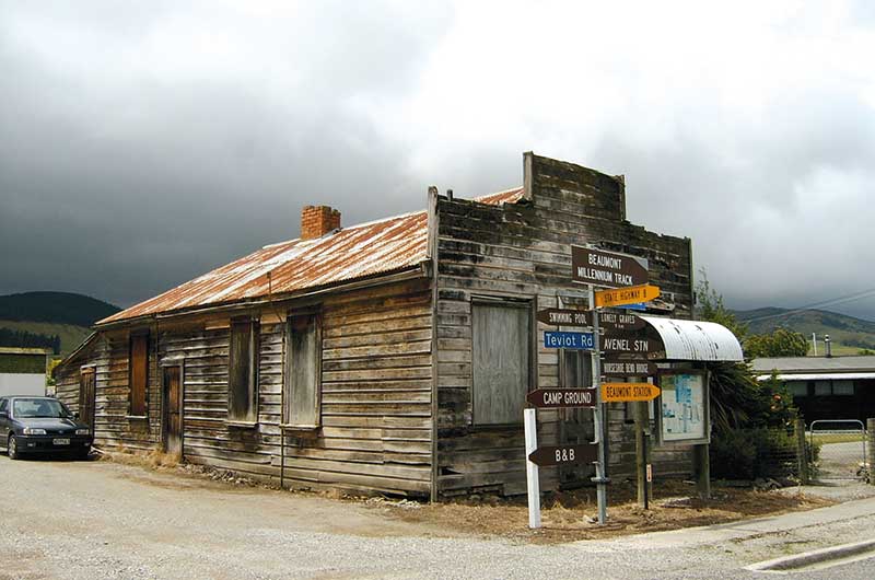
From Millers Flat, the cycle track passes through the remote Beaumont Gorge. Just off the track at Horseshoe Bend is a walking path to the only remaining suspension bridge over the river. Horseshoe Bend was a thriving gold mining community in 1863 with a population of 200, but the boom went bust and two years later there were only 72 people left.
The Clutha Gold Trail now follows an old railway route. Past Beaumont, the trail leaves the Clutha Mata-au River and, at its highest point, goes through the Big Hill tunnel. From here, it is downhill to Lawrence, running beside the Tuapeka River, and more remains of early gold mining days. Lawrence is another good base for cycling the trail and exploring the area’s gold mining history.
Originally known as “The Junction”, Lawrence was once Otago’s first gold rush town. Now it’s only a small settlement with around 400 inhabitants. Gabriel Read famously discovered gold at nearby Gabriel’s Gully triggering the arrival of a huge influx of miners. We walked around Gabriel’s Gully, imagining what it looked like with hundreds of prospector’s tents clinging to the hillsides.
Read the full article in issue #133 of Motorhomes Caravans & Destinations magazine (on sale now!). Subscribe here.

