Driving west from Nelson, the road follows the Moutere Inlet and Kina Estuary, and passes through the apple growing town of Motueka. From there the road snakes up the honeycomb of karst-rocks and sink-holes of Takaka Hill to 760 metres, and at the top you can look across the broad Takaka and Cobb Valleys, the high wilderness beyond, and the great scoop out of the northwestern corner of the South Island, called Golden Bay.
Golden Bay Area
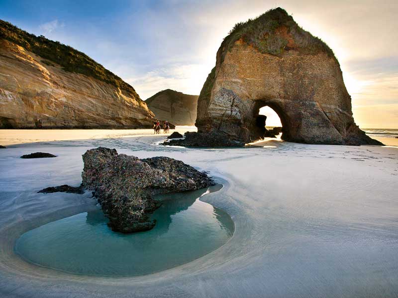
The topography of this part of New Zealand is endlessly varied. Forest, beaches, mountains, and estuaries intertwine with the sea. Golden Bay lies between the great wilderness areas of Farewell Spit and Kahurangi National Park at one end and Abel Tasman National Park at the other. On the west coast there are wild sculptured beaches and rocky promontories, and in between are mud flats and mangroves, forest and farmland.
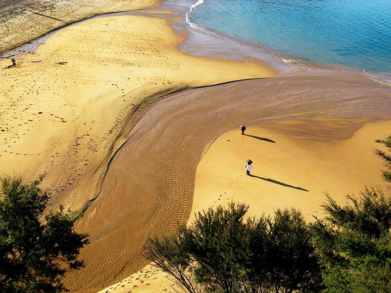
Despite the warm climate, it wasn’t the sun that earned Golden Bay its name. It was first called Murderers Bay, then Blind Bay, Massacre Bay, and Coal Bay but in 1857, when a pig hunter found some gold nuggets up behind the present-day Collingwood, the bay finally received the name that has stuck for 150 years. It could just have easily been named Golden Bay for the little coves and tidal beaches that line its curving shore and are covered in coarse, orange-coloured sand.
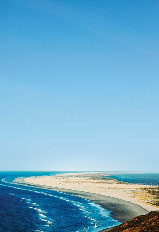
From the top of Takaka Hill the road twists down into a wide valley to lead to the principal town of Takaka. Beyond here the only village of any size is Collingwood – the last smudge of civilisation before the great sandy arc of Farewell Spit and the Heaphy Track.
South of Motueka is the 102,000-hectare, glacier-gouged, mountainous Nelson Lakes National Park, which comprises numerous walking tracks and two long lakes, Rotoroa and Rotoiti. Towards the west coast is Murchison on the confluence of the Buller and Matakitaki Rivers, a town founded on gold and now a favourite with visitors who seek adventure among the area’s dramatic scenery and fast-flowing rivers.
Local knowledge
Tapawera: a tiny town famous for an incident in 1955 when a group of local women staged a protest to try and prevent the train to Nelson closing down. A small museum is housed in the old railway station and documents the event.
Motueka Beach: the best in the region with bright orange sand and safe, warm swimming. People book a year in advance so phone ahead if you want to stay over.
Ngarua Caves: just below the summit of Takaka Hill these amazing limestone caves are embedded with a liberal scattering of moa bones and are well worth a visit. Guided tours only.
Asbestos Cottage: a two-hour walk up the Cobb Valley, past an old asbestos mine, to a small heritage-rated cottage deep in the bush – the last remnant of one of the most romantic tales of early New Zealand.
Farewell Spit Eco Tours: a five-hour return excursion to the light-house along the wind-sculpted beak of sand which is possibly the longest natural sand spit in the Southern Hemisphere and also an important bird sanctuary.
Te Waikoropupu Springs: sitting six kilometres west of Takaka are the largest freshwater springs in New Zealand and the largest cold water springs in the Southern Hemisphere. They contain some of the clearest water ever measured, and to retain this quality all forms of contact, apart from looking, are disallowed.
Maruia Falls Track: from SH65, take this ten-minute walk to view the spectacular Maruia Falls, created after the 1929 earthquake. At only five metres high, they’re very high volume and powerful.
Abel Tasman National Park
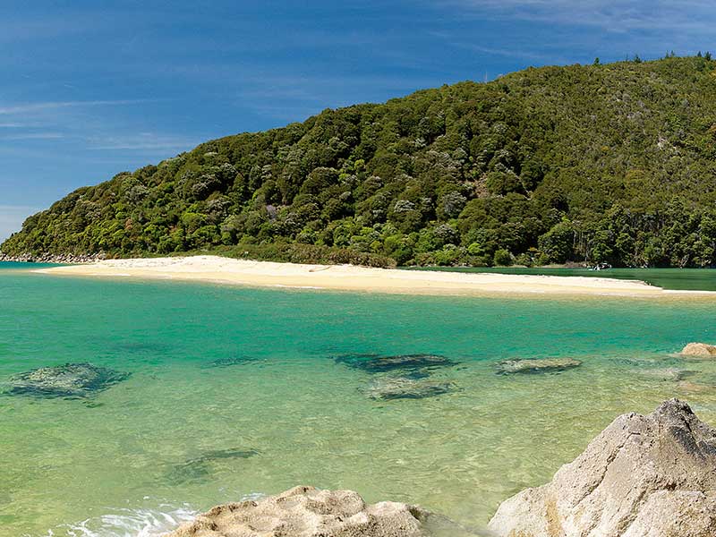
Abel Tasman Nation Park is smallest of New Zealand’s national parks. The wide estuaries, beaches of mustard-coloured sand, and the coastal walking track that make up this park can be accessed from several key points. Main gateways are from Kaiteriteri or Marahau at the southern end of the park, and from Wainui, Totaranui, and Awaroa from the northern end.
Abel Tasman is safe, accessible and – not all that surprisingly – often crowded.
While it may be best to plan your trip to avoid high season crowds, if you check ahead, you’ll find plenty of great places to use as a base while you immerse yourself in the wonders of this national treasure.
The entire 54-kilometre, coastal Abel Tasman Track takes three to five days, but there are plenty of day walks from Wainui, Totaranui, and Marahau.
Abel Tasman also offers some great mountain biking options from Wainui, over the Pigeon Saddle to Totaranui and Awaroa Inlet. A single 23km track over the Gibbs Hill to Totaranui and return is best completed clockwise. The climb from Wainui is an easier gradient. Meanwhile, the Takaka Hill rise through Canaan Downs Scenic Reserve takes you to a quiet part of the park with great views.
Totaranui DOC camp is a large basic campground alongside a long white sand beach and estuary. There are two boat ramps and a dump station. The camp office also sells limited supplies. Totaranui is ideal for water activities. Walk south along the coast to Goat Bay and on to Awaroa. RV-friendly Totaranui has one of the best beaches in the park, once you get there –beware as the road in is narrow and steep and great care is needed.
Abel Tasman is known for superb sea kayaking, even in winter when the seas are calm, especially around Tonga Island Marine Reserve and from Marahau to Adele Island.
Moutere Inlet and Motueka
Part of the drive west from Nelson towards Motueka follows the shoreline of the Moutere Inlet where, if the tide is out, you will see messages from some of those who have travelled that way before. From “Marcus was here” to “Sam loves Karina”, the most common theme is “I love Mot”.
Now I too have become a Mot lover. The town is backed by rich rural land and situated near the Motueka River, which spills into Tasman Bay. Forged from a past of pioneers, orchardists, market gardeners, hippies, and fishermen, Mot’s inhabitants are unpretentious, self-reliant, cheerful, and extend a warm welcome to all – especially motorhomers (NZCMA members are welcome to stay at the showgrounds right next to the aerodrome, where there are facilities and reasonable rates).
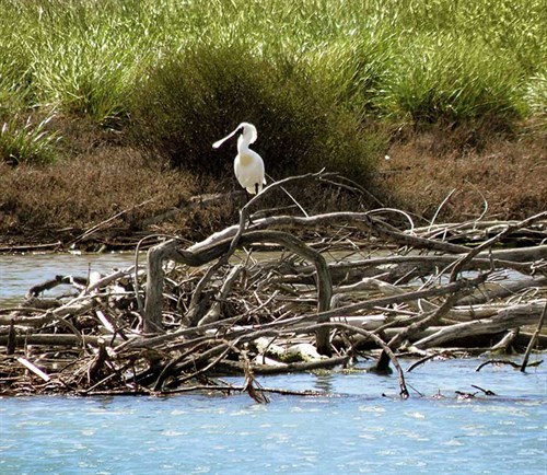
Apples rotting on the ground beneath broad orchards give Motueka’s environment the faint, clean, sweet aroma of cider. The sun shines, but never too much. The area is cycling and walking-friendly. A walk/cycle-way runs alongside the estuary all the way to the Raumanuka Reserve on Manuka Bush Harbour. Waders wander the tidal flats and at low tide a scattering of fishing boats lie at drunken angles, glued to the mud.
The one thing about Motueka that is not at all motorhome friendly, however, is the bridge at its western end. It is very narrow. One morning a couple set off to drive to Takaka. Three hours later they came limping back minus their water tank and half their stairwell. They had been forced against a raised concrete lip on the side of the bridge by an oncoming truck. There was not enough room for both of them.
But affection for the town is undimmed. What love affair doesn’t have its little ups and downs?


