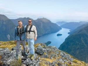
Eleanor Hughes cycles the north-western area of Lake Taupo.
I’d only ever viewed Lake Taupō from the road, travelling along the eastern side of it. A long weekend had me deciding to explore it the slow way, cycling the Great Lake Trail.
The trail runs between Waihaha and Whakaipo Bay. We were unable to ride it from one end to the other, as in the off-season the water-taxi – required from Waihora to reach Kinloch, and the next leg – only operates on certain days. Instead, over three days, we rode Kinloch to Kinloch, then Waihaha to Waihora and lastly Kinloch to Whakaipo Bay. Staying in Taupō, we shuttled to/from the start/end of each section. You can also use shuttles if you’re camping at the DOC site at Whakaipo Bay. If staying in Kinloch, you only need a shuttle and water-taxi for the Waihaha to Waihora section; the other two legs begin and end in the village.
Waihaha to Waihora Bay
Waihaha to Waihora Bay is 30km. Our water-taxi pick-up was at 1.30pm from Waihora Bay, so we upgraded to e-bikes to ensure we got there in time. We also made an early start, at 8am, from the Waihaha River carpark. In early February it was cool; long shadows darkened the rocky river we crossed via a suspension bridge near the start.
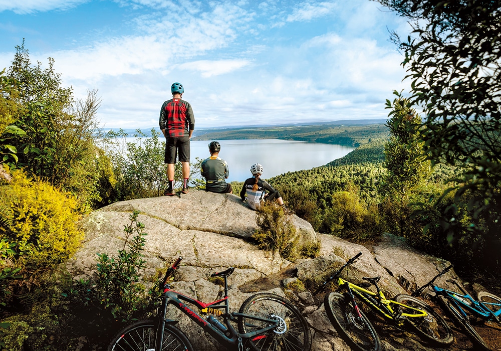
The dry, rocky trail climbed gently to look out over stark rock cliffs gashing the never-ending bush that covers Waihaha River canyon. I cycled to the sound of a roaring train, only to discover further along that it was in fact a waterfall – tumultuous white water slicing from greenery into a pale green, almond-shaped pool which, far below us, resembled an eye within the forest. Lake Taupō came into view, the water a patchwork of blues.
We rode in sunshine and on dappled tracks, taking around 2½ hours to cover the 13km to the junction of Waihaha and Waihora trails, where tall native trees provided cool shade.
We came out of the bush onto open viewpoints overlooking sheer rock cliffs rising from Taupō’s waters. White moss that looked like magnified snowflakes grew alongside the trail that at times was rutted, white rock. I had a few ‘eek’ moments as the bike juddered and jarred over it.
Darwin’s Corner, reached at 11.15am, gave a view of a bush-covered valley, the lake shimmering at its end. The trail became a series of tight switchbacks and, given my lack of trail-riding skills, I navigated them with one foot on the pedal, the other on the ground, hopping around the corners.
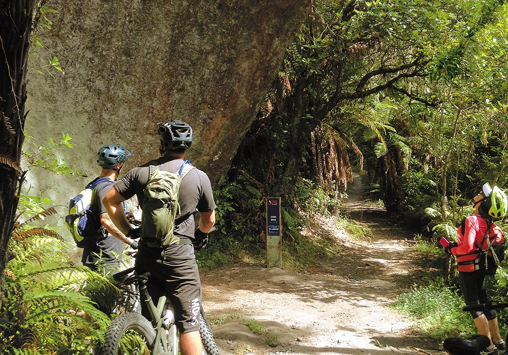
Another of the trail’s highlights, Echo Rock, followed. Standing at the base of this towering boulder which curves, like a forming wave, above the track, it sounded as if water was flowing above. But it’s the echo of the stream, unseen, below.
A steep, rocky passage followed, and the e-bike’s power was put to full use as I steered through its narrowness.
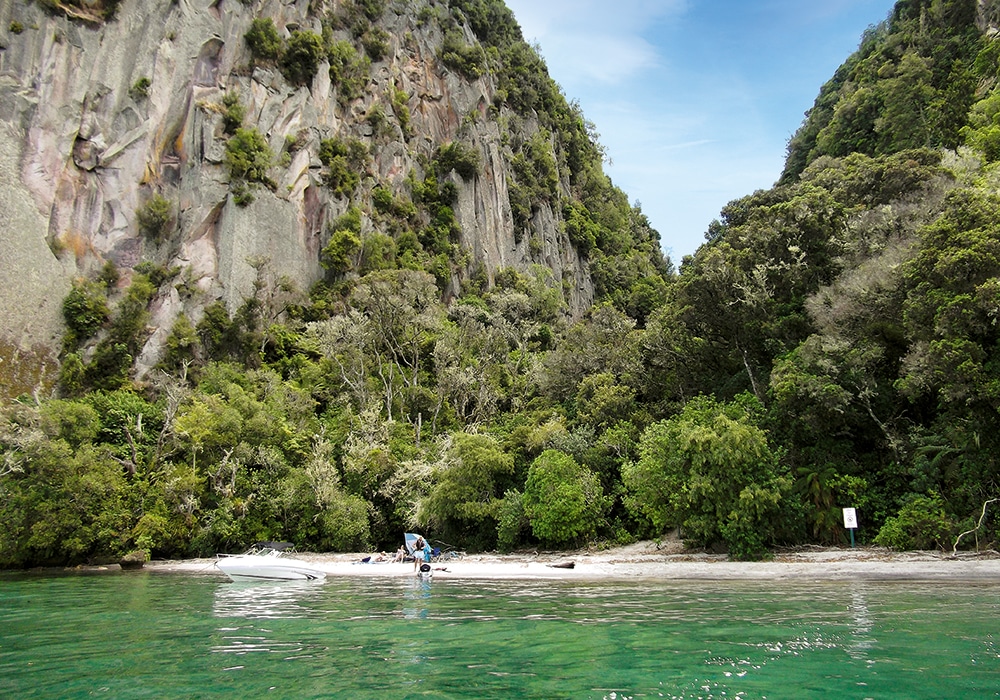
The view above Kotukutuku Bay was stunning: turquoise water lay between fingers of bush-covered coastline. It took us around an hour from there to reach the end of the trail. Close to it, there’s a series of steep, downhill, hairpin-bends that I walked. They followed the Kotukutuku Stream and brought us to a platform where the stream formed a waterfall down a rock face, then wended its way out to Waihora Bay. The trail ends at this short, scenic, pumice bay tucked below soaring rock cliffs. We had around 25 minutes to spare before the boat arrived to ferry us the 30 minutes to Kinloch, where our shuttle back to Taupō awaited.
Kinloch to Kinloch, or K2K
Kinloch to Kinloch is 32km long. I rode it in a clockwise direction, cycling about 100m along Whangamata Bay beachfront, which fronts Kinloch, before heading into bush. The track undulates, with some calf-burning uphill zig-zags but enjoyable downhills. With glimpses of the lake it’s a pretty ride – draping ponga, moss-covered dirt banks and a grove of stark, white-blotched, grey and black trunks, the tree foliage too high to distinguish the species. A highlight was emerging from dim bush to glaring, white rock which formed a viewpoint for a stunning panorama of the bush-lined lake and distant rolling hills to the south.
Crystal-clear water lapped at the narrow, pebble shoreline of Kawakawa Bay, hemmed by trees. From here it’s upwards on the Ōrākau track. Riding over the second bridge out of Kawakawa we passed over a rock chasm, so narrow it was impossible to see the bottom. A boardwalk runs among wetlands before the trail continues up to tarsealed Whangamata Road. A short ride on this quiet road tests the thigh muscles, but views of Lake Taupō across grassed hills took my mind off the pain … slightly. Soon we were back on dirt, the Otaketake Trail, heading into forest with 14km left to Kinloch. With a slight rise for 2km, it’s then pretty much downhill. I was grinning and barely pedalling as the momentum of a trail that dipped and rose, dipped and rose, took me on what felt like a rollercoaster ride. Distant, tawny paddocks with stands of pine stretched out far below, cicadas were chorusing.
It took us six hours to ride the loop on normal bikes, two hours longer than the estimated times given!
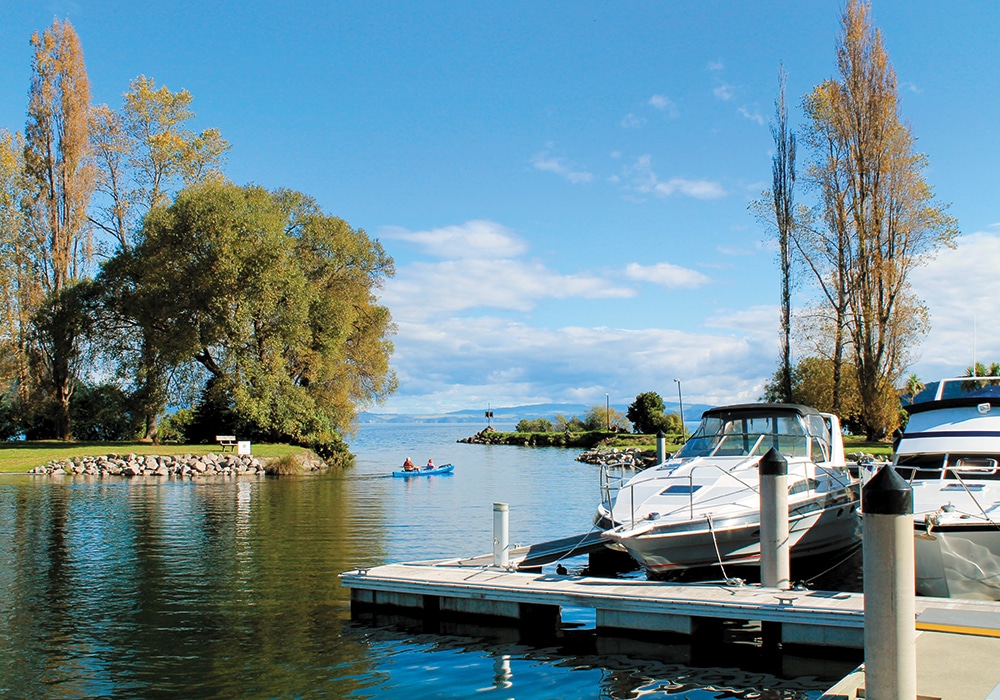
We contacted our shuttle driver on arrival back in Kinloch and then wandered the marina while waiting. If we’d been hungry we would have had time to pop into the Tipsy Trout, the cafe on the main road through Kinloch. It has breakfast, lunch and dinner menus as well as cabinet food. Or a few doors up, the General Store sells coffee, burgers and ice cream scoops, along with a range of grocery items.
Kinloch to Whakaipo: W2K
This trail was by far the busiest. We barely saw anyone else on the other two legs, and it needs to be ridden with caution – walkers, runners and other cyclists surprise around corners. At only 13km long we lengthened it another 9.5km by riding the Headland Loop, which is about halfway between Kinloch and Whakaipo Bay, plus a kilometre backtracking.
The trail, completed in 2010, leaves from near Kinloch Marina with a ride along the shoreline. Entering bush, I negotiated between a narrow section of boulders, then weary legs pushed pedals uphill. Crossing a residential road, it was then back into the bush and a slow, hard climb – muscles screamed, I wished I had an e-bike – to a lookout where distant Kinloch could be seen. Thankfully it was pleasantly undulating after this, and 6km in we reached the ‘A’ junction with the Headland Loop.
We were recommended to ride the loop in a clockwise direction – it’s apparently easier that way, so we rode on another half a kilometre to ‘B’ point and rode the loop back to ‘A’. The forested Headland Loop is mainly downhill with undulating sections, but there was a teeth-gritting spot of uphill near the end. With a number of viewpoints, my favourite was Jaqs Lookout, where sparkling Lake Taupō’s surface looked like fizzing champagne. Others gave panoramas of Ruapehu and Ngāuruhoe, Kinloch and, of course, the lake. Headland Loop had a lot fewer people on it than the main track and took 1¾ hours to ride.
Having ridden the loop we cycled back to ‘B’ junction on the main track. The shelter there, with a nearby toilet, made a good lunch stop. Serenaded by birdsong, distant, occasional boat motors and with glimpses of deep blue water through the green foliage, the ride was mostly downhill from here to Whakaipo Bay. The exception was The Bluffs Zig-Zag, where I had to get off and push my bike uphill.
The end of the trail was a little confusing, but finding the W2K symbol on a wooden bridge with poles across, like a cattle stop, we crossed a field of grass and then wound our way down, requiring little pedalling, to Whakaipo Bay Recreational Reserve. Here a shelter displayed information boards on the Great Lake Trail. Our ride took 4¼ hours.
Whakaipo Bay beach, a long stretch of grey and white, pebbly pumice stones, is beyond a line of trees. The DOC campsite adjoins the beach and it’s a perfect spot to cool off if you remembered to bring swimming gear. Sadly we didn’t. We watched swimmers enviously, waiting for our shuttle back to Taupō, but feeling a great sense of achievement having conquered the 83km Great Lake Trail.

Useful Websites
Great Lake Trail: http://lovetaupo.com
Self-contained DOC camping at Whakaipo Bay: http://nzmca.org.nz
Bike hire, shuttles, water-taxi: http://fourb.nz
Water-taxi: bay2bay.nz
Cafe and bike hire: http://tipsytroutkinloch.co.nz

