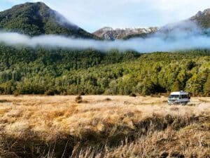
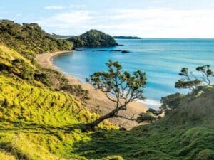
Te Urewera National Park lies between the Bay of Plenty and Hawke's Bay in the North Island of New Zealand. It’s rugged, remote, and enormous – at 2127 square kilometres it’s the largest tract of native bush in the North Island.
Tuhoe territory
Te Urewera National Park and the land around it, is Tuhoe territory.
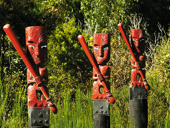
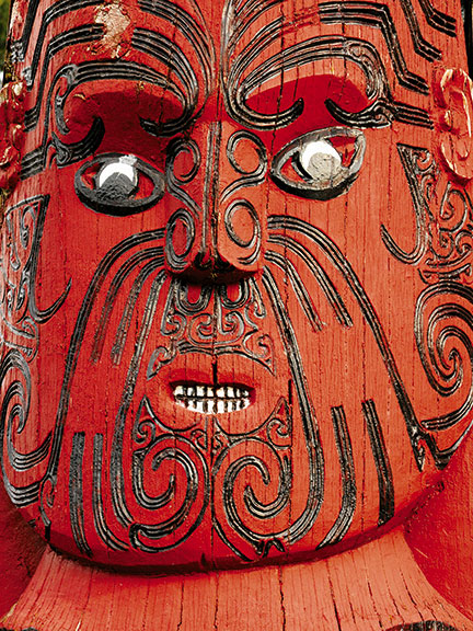
The Tuhoe, the children of the mist, the legendary offspring of Hine-pukohu-rangi, the celestial Mist Maiden and Maunga the Mountain Father, have strong links with their land and with Maori tradition.
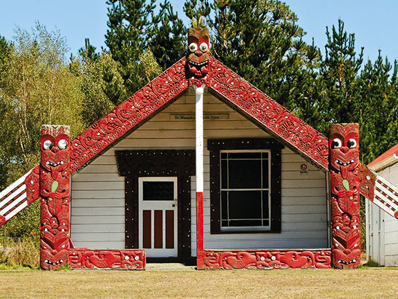
This is one of the most overtly Maori parts of New Zealand and the road passes numerous Maori villages, with marae, meeting house, and homes clustered around.
Though the road is steep at times and winding, and even though it is not sealed after Te Whaiti, it's manageable when taken slowly — even in a decent-sized motorhome.
Ruatahuna, a village that straggles along a valley in a big bubble of privately-owned Maori land in the middle of Te Urewera National Park, is heartland Tuhoe and the 260 people that live here speak Maori as their first language. Ten hapu live in the valley and each has its own marae.
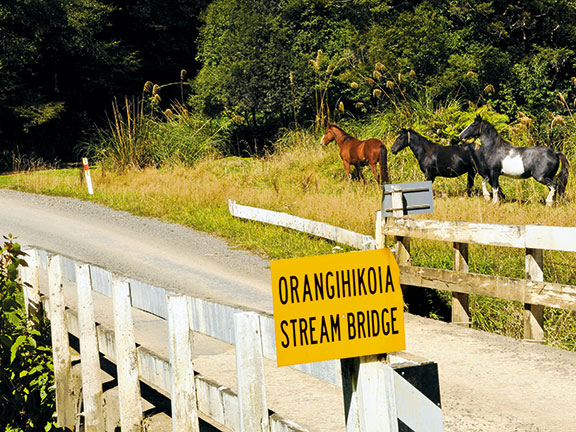
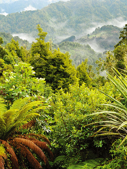
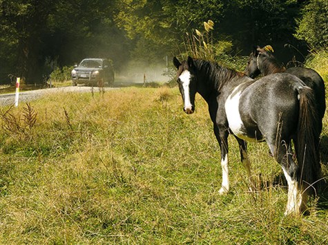
Green farmland is surrounded by steep mountains clothed in dark, primeval rainforest. The forest seems to be quietly creeping down, reclaiming land, making a mockery of man's futile attempts to farm and nudging the cattle and horses further down the valley.
The Whakatane River that carved this valley is young and sprightly, dancing around rocks and sometimes slowing down in pools where trout swim, as do the children on long summer days.
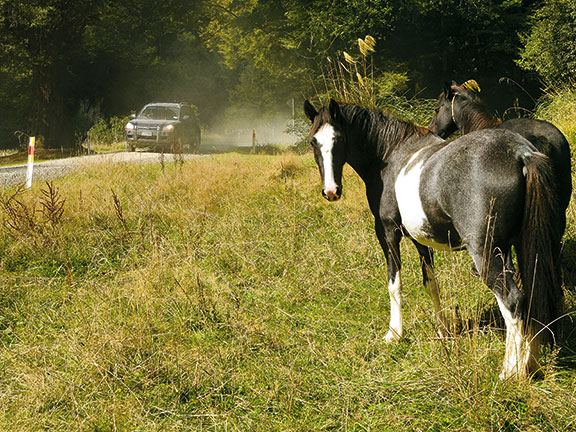
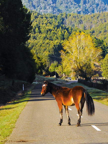
The road, though sealed in the Ruatahuna Valley, is shared between vehicles, randomly roaming horses, cattle and children.
Te Urewera National Park HQ
The map tells us it is 27 kilometres to Aniwaniwa, the headquarters of Te Urewera National Park, and it's an unsealed narrow road.
'Unsealed and narrow' is an accurate description as the road creeps and curls up steep valleys, along ridges down other valleys. The forest is amazing, with stands of massive rimu and tawa. I'm loving it, but Sam, the driver, keeps his hands on the wheel and eyes on the road.
We leave the road at Hopuruahine Landing and drive along the edge of the river of the same name to Te Urewera National Park's most prized treasure, Lake Waikaremoana.
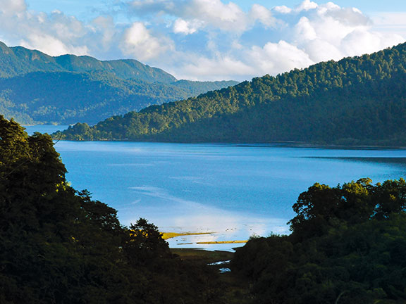
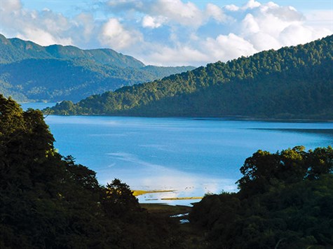
Waikaremoana, the sea of rippling waters, was formed 2200 years ago when a giant landslide, caused by an earthquake, thundered down from a mountain and filled a valley, blocking a river and causing the lake to build-up behind it.
Waikaremoana's size and beauty is not overt, it does not lay itself openly before you. It's secretive and mysterious. One glimpses its glory from cliff tops and little bays or when the road runs near it.
Hopuruahine Landing
I have been to Hopuruahine Landing twice before, and stayed longer, camping on the flat land between the loops of the river as it meanders into the lake. The landing is a favourite place for black swans.
There is a swing bridge over the river. The water is so clear that we can see each of the millions of pebbles on the bottom and trout hovering in eddies where logs have caught on the bank.
The bridge marks the beginning of the Great Walk, the four-day trek around the lake. They say it is amazing, and I'm sure it is, but I wasn't born to carry nor do I enjoy sleeping in tramping huts with 16 others.
It's another ten kilometres of winding road through forest with glimpses of the lake from high rocky bluffs, to Aniwaniwa, which is a touch of civilisation – a camping ground, boat ramp, general store and gas for those who didn't fill-up at Murupara.
Back on Highway 38 it's not far, 20 minutes' drive perhaps, on the still-gravel road that meanders near the lake edge to the end of Te Urewera National Park.
Visiting Tuai
Quite suddenly we leave the lake, the fabulous forest, and enter a different world, of expansive hill country farms, of power stations and mother-land deciduous trees planted in rows.
Tuai is a proper little village with a school, a community hall, and houses with pretty European-style gardens. The humming, electricity-producing Tuai Powerhouse, built in 1929, is an impressive Art Deco building on the edge of an English-style lake with ducks and dinghies. And the road is sealed.
I feel a tinge of sadness in leaving Te Urewera and its awe-inspiring natural beauty, but am immensely glad that it is there — treasured by Ngai Tuhoe, administered and protected by the Department of Conservation and overseen by Tane, the great God of the Forest.
Local knowledge
Yes, the road is long, winding, and gravel, but take it slowly and carefully and campervans and motorhomes will be fine. There are beautiful stops and campsites along the way. Avoid driving at night and keep an eye out for horses.
It's not a busy road but be aware of traffic behind you and pull over to let it pass. Locals, who know the road, get irritated when held up by slow motorhomes.
There are four campsites on the edge of the lake, all have toilets, and one has showers and a dump station. Google 'DOC Waikaremoana camping'.
If trout fishing is your thing, this is the place for you. And if trout fishing isn't your thing, well, it is still the place for you…
For the latest reviews, subscribe to Motorhomes, Caravans & Destinations magazine here.

