Leigh Harbour is a cosy cove with fishing boats, ice trucks and fishermen coming and going. And, usually, the locals fishing off the wharf are happy to chat about what's biting. There is often something interesting going on, and it seems to be always warm and sunny there, with steep hills protecting it from chilly breezes. It's a great place to picnic.
An even better place to picnic is a hidden but perfect beach on the other side of the harbour. One must walk there so when I finish fishy chats and seagull watching, I follow a path inland along the edge of the harbour, past two classic heritage cottages and over a walking bridge at the end of the estuary.
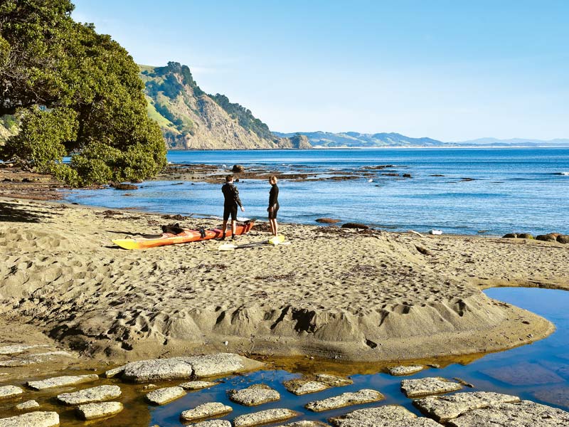
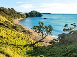
The path ambles along a steep bush-covered hill with pohutukawa stretching out and over to touch the harbour. Tui chime in the braches above and fantails twitter and show-off their flight skills. The path ends at a perfect little sandy bay where shoals of tiny fish flick away when I paddle. Gannets dive for big fish deeper in the harbour. There are two houses behind the beach but no one is around on the day I visit. The water is always still and clear and even if the season is too cold for swimming, it's a beautiful place for a picnic and a doze.
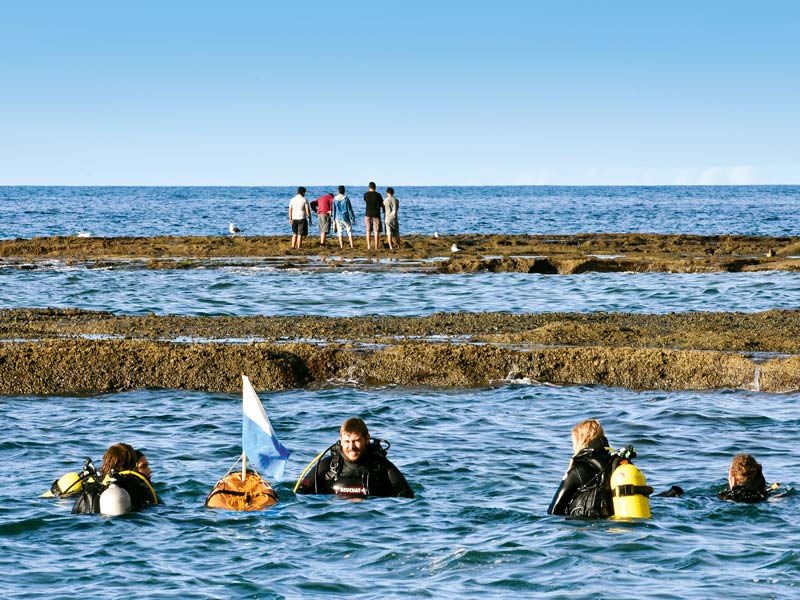
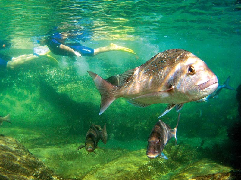
Leigh's other claim to fame is Goat Island Marine Reserve, officially known as Cape Rodney-Okakari Point Marine Reserve. The reserve is 547 hectares of shoreline and sea, with Goat Island being a feature. It provides a sanctuary for all marine life and allows scientists to study what is going on around and under the sea. Though kayaking, snorkelling and swimming is encouraged, no-one is allowed to take any marine or plant life and, absolutely, no fish.
I snorkel, swimming out into the middle of the channel between the shore and the island, eyeballing snapper, rock cod, blue maomao and numerous other fish species. There are often eagle rays, too, resting on the ocean floor, sometimes rousing themselves to swim elegantly into the distance. These winged creatures are entrancing to watch. They move more like birds through the air than fish through water.
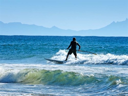
The rock pools are wonderful to peer into at low tide. The exposed open terraces are generously covered in Neptune's necklace; a seaweed, with strings of golden brown hollow beads. The beads are full of gas so they float upwards like strings of balloons when the tide is high, but at low tide they lie flat and shelter all sorts of tiny creatures from the sun and hungry birds.
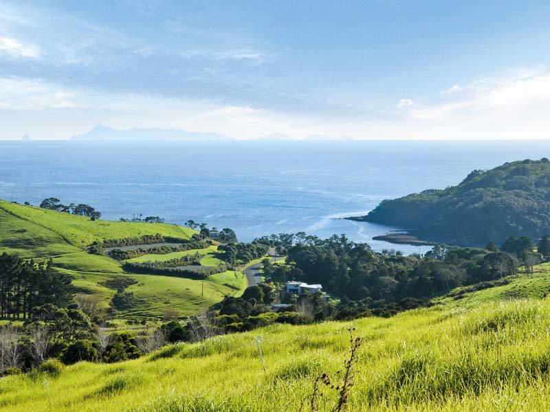
There is another beautiful world to view from the top of the Pakiri Hill. I look south over a roll of green hills to the white, sandy sickle of Omaha Beach with its whiter cluster of wealthy peoples' huge holiday homes. Above that there is another strip of farmland that edges blue, island studded Hauraki Gulf. On the far horizon conical Rangitoto, 80 kilometres away, is discernible on a clear day.
Blink and you will miss the town centre of Pakiri; there is a school, a church and a few farm houses dotted along a country road. We drive a side road to the beach, past the camping ground hidden by a hedge and giant Macrocarpa trees and stop at the end of the road in the Pakiri Regional Park car park.
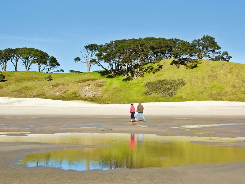
We follow the path between sand hills and a steep grassy paddock. So far, so lack-lustre and I am wondering why people rave about the beauty of Pakiri. Then we round the edge of a sand dune and a truly glorious beach spreads before us. The sand is bright gold where it's dry and tawny where the retreating tide has left it damp. Between and beyond these sandy shades everything is blue.
It's 13 kilometres from Pakiri Beach to Te Arai Point, as the seagull flies, but 33 kilometres by road. The first half of the drive is gravel road. In parts it's skinny and windy, but logging trucks do it, as do farmers with horse-floats, so big rig motorhomes shouldn't have any trouble if they take it carefully.
At Tomarata the gravel road joins tar seal and the forest – a mix of pine plantations, scrub and native bush - gives way to gorgeous green farmland. Tomarata and beyond is a patchwork of neatly farmed paddocks in different shades of green, with little lakes surrounded by raupo in the bottom of valleys.
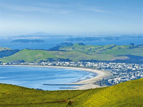
Te Arai is another of the lesser-known delights on this stretch of coast. Te Arai Regional Park is the newest and most northerly of Auckland's regional parks. Fifty hectares was purchased in 2008; this joins a 37 hectare scenic reserve. It's valued for its sensitive dune-lake ecosystems, wetlands, coastal broadleaf forest and regenerating forest.
Surfers know about Te Arai's famous surf break and locals value the 10 kilometres of fine beach that stretches to Mangawhai. It has the sweetest little keyhole cove, which is fantastic for safe wave-free bathing in all tides. The floor of the cove is completely made of shells.
I sit in this massive shell cemetery and take time to really look at yet another miracle of creation. Whelks, cat's-eyes, periwinkles, and bigger varieties in the sea snail family are all built on the principle of the perfectly proportioned spiral. Periwinkles show this spiral on their sea-worn backs, bigger shells, broken open, reveal this clever construction from the inside.
I'm awed by this specific facet of natural beauty. I also wonder about the millions of live shellfish that must live outside this little cove and why so many of their exoskeletons ended up here.
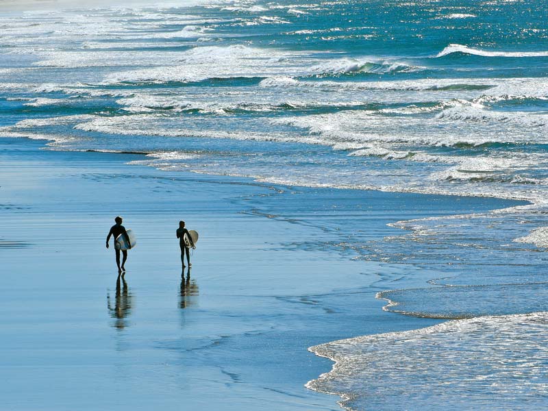
Some things are just too complicated to ponder though, so I head up the hill, away from the cove and watch surfers enjoying the challenges this long, wave-washed beach offers.
This stretch of coast, Leigh to Te Arai, is delightful in a wild, natural way. As I travel these backcountry roads, I am reminded of, and grateful for, the gift of living in this incomparably beautiful country of ours.
Read the full article in issue #146 of Motorhomes Caravans & Destinations magazine (on sale now!). Subscribe here.

