We can easily confuse what is with what we wish for. And so in the Hunua Ranges – home to Auckland’s largest mainland population of kokako – I imagined I could hear that rare bird’s clear, strong, melodious call.
On high alert, I scanned the treetops. Nothing – chances are the sounds that raised my antennae were made by a mimicking tui. Not only are kokako shy but due to an explosion in the rat population, it’s also been an abysmal year in these ranges for any bird to raise a family.
There was no Pied Piper to stem the rodent plague and the devastation of forest and wildlife had become so dire that an Auckland Council project team instigated a carefully planned programme of 1080 poison drops in an effort to control the vermin.
I had arrived at the Hunua Falls, the most visited part of Hunua Ranges that form Auckland’s largest forested landscape – 250 square kilometres to be exact, and 178 of them are parkland. The terrain is steep and rugged, the soils infertile. This meant the area was never much good for farming.
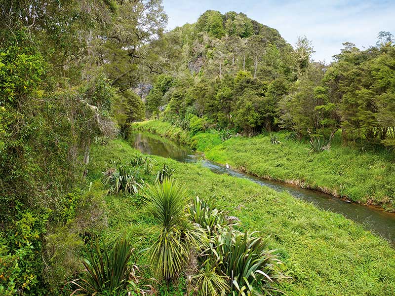
But there is plenty of water – in rivers, streams and swamps; and now in the four immense, man-made reservoirs that supply around 65 percent of Auckland’s water. Except for Cossey’s Dam, which is built on the Wairoa River, each dam is built on the headwaters of the river it is named for – Mangatangi, Mangatawhiri and Wairoa. It easy enough to visit some of these by car, motorhome or bike, and if you’re really keen, by Shanks’ pony.
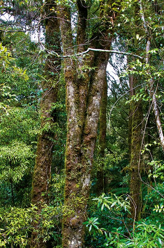
A complex web of walking or biking tracks of varying grades cross-cross the Hunua Ranges. Among the most popular is the Wairoa Loop Track. I meet Ben, a leggy fellow humping a very large backpack. From behind he looked like a beetle on stilts. Ben had just finished the loop and said he’d encountered some great bush, spectacular views over the Wairoa Reservoir and was able to walk the crest of the dam. It took him over three hours. It takes about the same amount of time to walk the Cossey/Massey loop, which by all accounts is also through some appealing native forest.
Much favoured by those of us who are less than leggy is the walk I was about to embark on. The Hunau Falls Upper Lookout Loop in the western part of the ranges only takes about 25 minutes.
Hunau Falls Upper Lookout Loop
I’d arrived in the parking area along an easy route from Auckland by taking the Papakura exit off SH1, into Beach Road, which leads into Settlement Road. At the Edmund Hillary School, a right turn leads onto Hunua Road that passes through a gorge and then into Hunua village. The road to the falls turns off just before the village is reached.
The falls can be reached just as easily through Clevedon where, on Saturday mornings, one of the Auckland region’s best country markets is held in the show grounds.
Before I strode off on the loop jaunt, I checked out the falls, which are just a five-minute stroll from the car park. On the course of the Wairoa River, the water plunges 30 metres down a sheer cliff formed by the crater of an ancient volcano. In a mesmerizing deluge, it pounds the rocky wall as it tumbles and then lands with a crash of spray before obligingly spreading out to form a large swimming pool. At a gentle pace the river continues on its way, carving north through Clevedon to eventually tip into the Hauraki Gulf. The loop walk to view the falls from a higher perspective is through kanuka trees and shady tree ferns and is not at all taxing on the knees.
I drove then through the hamlet of Hunua, a collection of charming houses, groomed gardens, and a general store selling cronuts and Cornish pasties and whitebait along with locally grown vegetables and spare parts for cars. A large community notice board at the start of the village announced an upcoming giant pumpkin competition and an eel hunt. The general store is named How Can We help and Co, which somehow gave the place a comfortable friendly feel, like a hug from a stranger.
At the falls I’d read that young eels, incredibly, inch their way up the sides of the waterfall using their fins. Apparently they do it to seek a better food source, but I bet they’d had word of the eel hunt.
Six kilometres past the village is the turnoff onto Moumoukai Rd, which leads to Wairoa Dam. There is a soggy looking picnic area in the valley at the base of the dam wall but little space to park. A view over the reservoir required me to climb 1.5 kilometres up the loop track to a viewing platform.
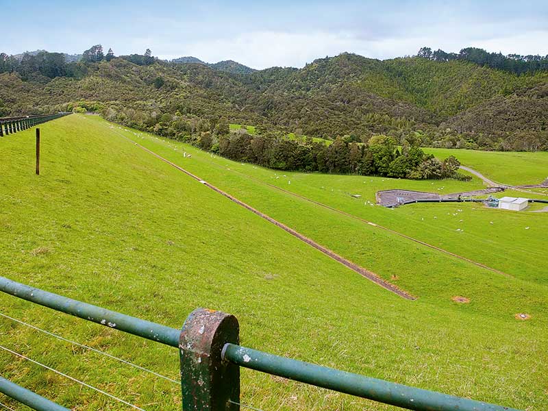
I saved my energy for the next port of call, which was the Upper Mangatawhiri Dam a few kilometres further on. At the base of the dam wall is a large grassy campground surrounded by thickets of kanuka trees. If you want to go bush this is a peaceful and pleasant spot. Close by is the 35-metre-high dam wall, of ‘rolled earth’ construction.
I walked up the track to the dam’s crest for a view over the huge expanse of water. Sunlight glinted on its surface, scoping its length as it disappeared into the distance between bush-clad peaks. When the reservoir is full the lake covers 136 hectares in area. If you are armed with tackle and a permit, trout fishing is allowed from the face of the dam wall.
At the other end of the dam face a small population of paradise ducks had cosied up among some reeds near the spillway and were intermittently depositing body waste in what could well be my drinking water. It’s more that likely that the water I imbibe at home comes from the Mangatangi Dam, which is the largest reservoir of water in Auckland.
We could have driven on from the Upper Mangatawhiri Campground past the Mangatangi Dam and eventually to the Firth of Thames coastline that fringes the Hunua Ranges Regional Park but is not included in it.
The pebbly beaches and calm seas along the firth, where there are more reserves, camping grounds and freedom camping areas, are definitely worth exploring. But that, as the saying goes, is another story.
Explore Te Anau
Discover the charm of Te Anau, a lakeside gem on the edge of Fiordland National Park

